Armutalan
Armutalan is a neighbourhood of the municipality and district of Marmaris, Muğla Province, Turkey.[1] Its population is 23,636 (2022).[2] Before the 2013 reorganisation, it was a town (belde).[3][4] It is merged to Marmaris to the southeast. The distance to Muğla is 49 kilometres (30 mi). Up to recent times Armutalan was a small settlement. Being very close to Marmaris, an important touristic center, it flourished and was made a seat of township in 1987.
Armutalan | |
|---|---|
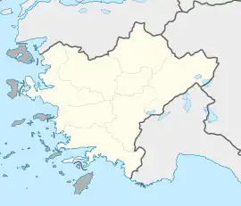
 Armutalan Location in Turkey  Armutalan Armutalan (Turkey Aegean) | |
| Coordinates: 36°51′N 28°14′E | |
| Country | Turkey |
| Province | Muğla |
| District | Marmaris |
| Elevation | 25 m (82 ft) |
| Population (2022) | 23,636 |
| Time zone | TRT (UTC+3) |
| Postal code | 48700 |
| Area code | 0252 |
References
- Mahalle, Turkey Civil Administration Departments Inventory. Retrieved 19 September 2023.
- "Address-based population registration system (ADNKS) results dated 31 December 2022, Favorite Reports" (XLS). TÜİK. Retrieved 19 September 2023.
- "Law No. 6360". Official Gazette (in Turkish). 6 December 2012.
- "Classification tables of municipalities and their affiliates and local administrative units" (DOC). Official Gazette (in Turkish). 12 September 2010.
This article is issued from Wikipedia. The text is licensed under Creative Commons - Attribution - Sharealike. Additional terms may apply for the media files.