Arnavutköy (district)
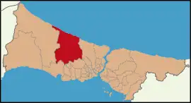
Arnavutköy (meaning "Albanian village" in Turkish[2]) is a municipality and district of Istanbul Province, Turkey.[3] Its area is 453 km2,[4] and its population is 326,452 (2022).[1] It is located on the European side of Istanbul and borders the Black Sea. Istanbul Airport is in the district. The mayor is Ahmet Haşim Baltacı of the AK Party. Arnavutköy borders Çatalca to the west, Büyükçekmece to the southwest, Esenyurt and Başakşehir to the south, and Eyüp to the east. Karaburun is a seaside resort on the Black Sea.
Arnavutköy | |
|---|---|
District and municipality | |
 Aerial view of the town | |
 Logo | |
 Map showing Arnavutköy District in Istanbul Province | |
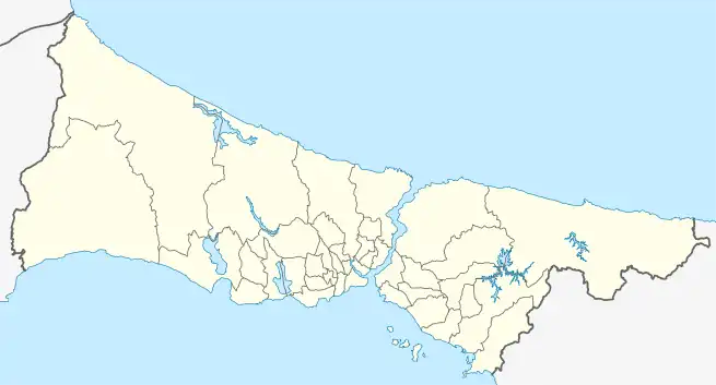
 Arnavutköy Location in Turkey  Arnavutköy Arnavutköy (Istanbul) | |
| Coordinates: 41°11′08″N 28°44′26″E | |
| Country | Turkey |
| Province | Istanbul |
| Government | |
| • Mayor | Ahmet Haşim Baltacı (AKP) |
| Area | 453 km2 (175 sq mi) |
| Population (2022)[1] | 326,452 |
| • Density | 720/km2 (1,900/sq mi) |
| Time zone | TRT (UTC+3) |
| Area code | 0212 |
| Website | www |
In 2008 the district Arnavutköy was created from parts of the districts Çatalca and Gaziosmanpaşa. The urban part of the new district, 29 neighbourhoods, was established as a municipality.[5][6] At the 2013 Turkish local government reorganisation, the rural part of the district was integrated into the municipality, the villages becoming neighbourhoods.[7]
Composition
There are 38 neighbourhoods in Arnavutköy District:[8]
- Adnan Menderes
- Anadolu
- Arnavutköy Merkez
- Atatürk
- Baklalı
- Balaban
- Boğazköy İstiklal
- Bolluca
- Boyalık
- Çilingir
- Deliklikaya
- Dursunköy
- Durusu
- Fatih
- Hacımaşlı
- Hadımköy
- Haraççı
- Hastane
- Hicret
- İmrahor
- İslambey
- Karaburun
- Karlıbayır
- Mareşal Fevzi Çakmak
- Mavigöl
- Mehmet Akif Ersoy
- Mustafa Kemal Paşa
- Nene Hatun
- Ömerli
- Sazlıbosna
- Taşoluk
- Tayakadın
- Terkos
- Yassıören
- Yavuz Selim
- Yeniköy
- Yeşilbayır
- Yunus Emre
References
- "Address-based population registration system (ADNKS) results dated 31 December 2022, Favorite Reports" (XLS). TÜİK. Retrieved 12 July 2023.
- Kreiser, Klaus (2009). Istanbul: ein historischer Stadtführer. Verlag CH Beck. p. 20. ISBN 9783406590634. "Europäische Migranten sind verantwortlich für Ortsnamen wie Arnavutköy («Albanerdorf»)"
- Büyükşehir İlçe Belediyesi, Turkey Civil Administration Departments Inventory. Retrieved 12 July 2023.
- "İl ve İlçe Yüz ölçümleri". General Directorate of Mapping. Retrieved 12 July 2023.
- Kanun No. 5747, Resmî Gazete, 22 March 2008.
- "İl İdaresi ve Mülki Bölümler Şube Müdürlüğü İstatistikleri - İl ve İlçe Kuruluş Tarihleri" (PDF) (in Turkish). p. 42. Retrieved 26 July 2023.
- "Law No. 6360". Official Gazette (in Turkish). 6 December 2012.
- Mahalle, Turkey Civil Administration Departments Inventory. Retrieved 12 July 2023.
