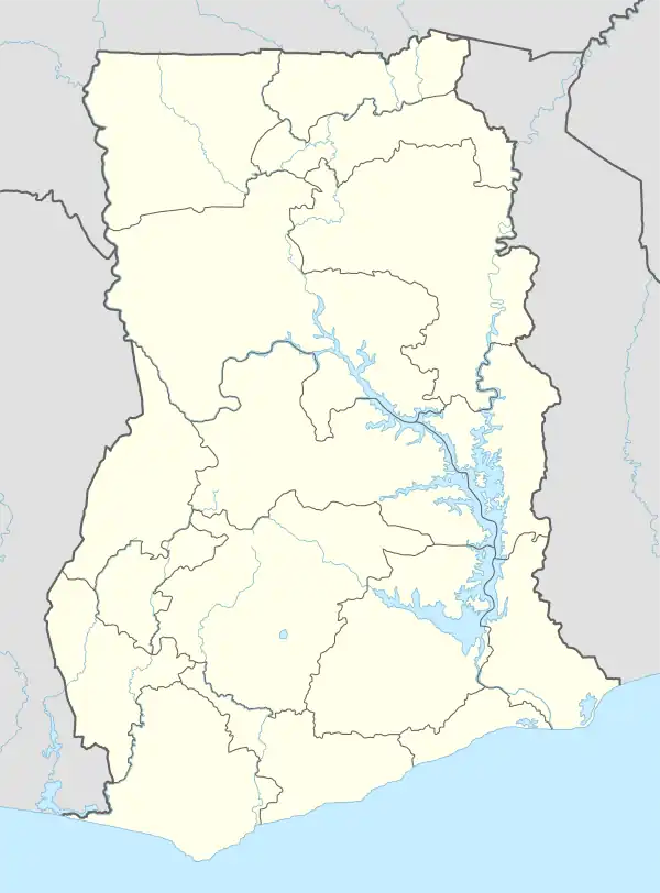
Asunafo North Municipal District
Asunafo North Municipal District is one of the six districts in Ahafo Region, Ghana.[2] It was formerly part of the then-larger Asunafo District from 1988 until the southern part of the district was split off by a decree of president John Agyekum Kufuor on 12 November 2003 (effectively 17 February 2004) to become Asunafo South District. The remaining northern part was renamed as Asunafo North District which was later elevated to municipal status on 29 February 2008 to become Asunafo North Municipal District. The municipality is located in the western part of Ahafo Region and has Goaso as its capital town.
Asunafo North Municipal District | |
|---|---|
Municipal District | |
 Seal | |
 Asunafo North Municipal District Location of Asunafo North Municipal District within Ahafo Region | |
| Coordinates: 6°48′N 2°31′W | |
| Country | |
| Region | |
| Capital | Goaso |
| Government | |
| • Municipal Chief Executive | Yaw Osei Boahen |
| Area | |
| • Total | 1,093 km2 (422 sq mi) |
| Population (2021) | |
| • Total | 150,198[1] |
| Time zone | UTC+0 (GMT) |
History
Asunafo North Municipal District is one of the 260 Metropolitan, Municipal and District Assemblies (MMDAs) in Ghana, and forms part of the 6 Municipalities and Districts in the Ahafo Region. It was one of the first Districts created in the then Brong-Ahafo Region dating back as far as 1912.
Asunafo North Municipal District lies between latitudes 6°27°N and 7.00°N and longitudes 2°52°W and shares common boundaries with Asutifi South District in the north east, Dormaa Central Municipal on the north west and Juaboso District and Sefwi-Wiaso Municipal in Western North Region on the west-south borders, and Asunafo South District in the Ahafo Region on the south-eastern borders.
The total land size of the Municipality is 1093.7 km2 with 389.7 km2 covered by forest reserves. The population of the Municipality according to 2010 population and housing census stands at 124,685 with 62,854 males and 61,831 females.[3]
List of settlements
| Settlements of Asunafo North Municipal District.[4] | |||
| No. | Settlement | Population | Population year |
|---|---|---|---|
| 1 | Mim | 30,753 | 2017 |
| 2 | Goaso | 24,846 | 2017 |
| 3 | Akrodie | 5,259 | 1017 |
| 4 | Fawohoyeden | 5,168 | 2017 |
| 5 | Kasapin | 4,563 | 2017 |
| 6 | Ayomso | 4,097 | 2017 |
| 7 | Bediako | 3,212 | 2017 |
| 8 | Dominase | 2,081 | 2017 |
| 9 | Asumura | 2,212 | 2017 |
| 10 | Pomaakrom | 1,542 | 2017 |
| 11 | Bitre Ahenkro (Kojo Addai) | 1,420 | 2017 |
| 12 | Nyamekyebekyere | 1,274 | 2017 |
| 13 | Ampenkro | 1,159 | 2017 |
| 14 | Abebresekrom | 1,126 | 2017 |
| 15 | Gyakontabuo | 1,108 | 2017 |
| 16 | Kwaopotey | 1,086 | 2017 |
| 17 | Nyankomagokrom | 1,023 | 2017 |
| 18 | Kofi Mmerekrom | 1,016 | 2017 |
| 19 | Daseana | 1,012 | 2017 |
| 19 | Gyasikrom | 1,002 | 2017 |
Sources
- "Asunafo North Municipal District". Statoids.
- District: Asunafo North Municipal District
- 19 New Districts Created Archived 2011-02-02 at the Wayback Machine, November 20, 2003.
References
- Ghana: Administrative Division
- District: Asunafo North Municipal Archived March 23, 2012, at the Wayback Machine
- "Ghana Districts: A repository of all Local Assemblies in Ghana". www.ghanadistricts.com. Retrieved 2020-05-28.
- https://www.mofep.gov.gh/sites/default/files/composite-budget/2019/BA/Asunafo-North.pdf