Aughareamlagh
Aughareamlagh (from Irish: Achadh Ramalach, meaning 'field of stagnant water')[1] is a townland of 800 acres in County Antrim, Northern Ireland. It is situated approxmately 2.6 miles (4.2 km) southwest of Carnlough,[2] in the civil parish of Tickmacrevan and the historic barony of Glenarm Lower.[3] Aughareamlagh was known for its bauxite mining.[4]
Aughareamlagh
| |
|---|---|
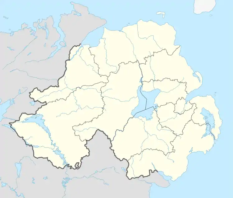 Aughareamlagh Location within Northern Ireland | |
| County | |
| Country | Northern Ireland |
| Sovereign state | United Kingdom |
| Police | Northern Ireland |
| Fire | Northern Ireland |
| Ambulance | Northern Ireland |
There is a fork in the road between the A42 road (Carnough Road) and Slane Road in the area. The main landmark is the Mullaghwee Self Catering Farmhouse along Slane Road.[2]
References
- "Aughareamlagh". Place Names NI. Retrieved 22 April 2015.
- Google (1 October 2023). "Aughareamlagh" (Map). Google Maps. Google. Retrieved 1 October 2023.
- "Aughareamlagh". IreAtlas Townlands Database. Retrieved 22 April 2015.
- "The Interbasaltic Rocks (iron Ores and Bauxites) of North-east Ireland". Geological Survey of Ireland. 1912. p. 76.

This article is issued from Wikipedia. The text is licensed under Creative Commons - Attribution - Sharealike. Additional terms may apply for the media files.