Ayta al-Jabal
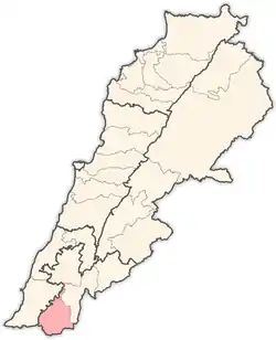
Ayta al-Jabal or Aayta Ej Jabal (Arabic: عيتا الجبل), also Ayta ez-Zutt (Arabic: عيتا الزط),[2] is a village in Nabatiye Governorate, in the Bint Jbeil District of southern Lebanon, about 112 kilometres (70 mi) from Beirut. The village is situated in the southern outskirts of the town of Tebnine, in the heart of the Lebanese Shia Muslim community of Jabal Amel. The village sits on an elevation of 680 metres (2,230 ft) above sea level.
Ayta al-Jabal, Aayta Ej Jabal
عيتا الجبل Ayta ez-Zutt | |
|---|---|
village | |
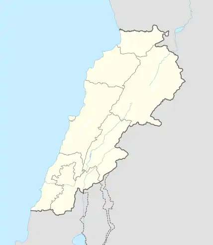
 Ayta al-Jabal, Aayta Ej Jabal Location within Lebanon | |
| Coordinates: 33°10′32″N 35°24′28″E | |
| Grid position | 188/286 PAL |
| Country | |
| Governorate | Nabatieh Governorate |
| District | Bint Jbeil District |
| Area | |
| • Total | 4.99 km2 (1.93 sq mi) |
| Elevation | 680 m (2,230 ft) |
| Time zone | UTC+2 (EET) |
| • Summer (DST) | UTC+3 (EEST) |
History
Antiquity
Ayta el-Jabal has been identified with Beth Ayit, a place mentioned in Rabbinic literature as being positioned on the border that signified the northernmost limit of Jewish settlement upon their return from Babylonian captivity in the 6th to 5th centuries BCE. Contemporary research indicates that this text was composed in the 2nd century CE, approximately six centuries after the return to Zion. Despite its later origin, it mirrors an ancient reality, likely harking back to the Hasmonean or Herodian periods, around the 2nd or 1st century BCE.[3][4]
Ottoman period
In the 1596 Ottoman tax records, the village, named 'Ayta al-Gajar, was located in the Ottoman nahiya (subdistrict) of Tibnin under the Liwa of Safad, with a population of 12 households and 3 bachelors, all Muslim. The villagers paid a fixed tax-rate of 25% on agricultural products, such as wheat (2,600 akçe), barley (1,400 akçe), olive trees (500 akçe), goats and beehives (400 akçe), in addition to "occasional revenues" (137 akçe) and a press for olive oil or grape syrup (12 akçe); a total of 5,049 akçe. Part of the revenue went to a waqf.[5][6]
In 1856 it was named Aithat et Tut on Kiepert's map of Palestine/Lebanon published that year,[7] while in 1875, Victor Guérin passed by and noted: “to my left, beyond a wadi, [is] the village of A'ïtha, on a high hill; it does not look very considerable and is inhabited by Metualis."[8]
.jpg.webp)
In 1881, the Palestine Exploration Fund's Survey of Western Palestine (SWP) described the village (which it called 'Aita ez Zut): "A village, built of stone, containing about fifty Metawileh, situated on a hill-top, with figs, olives, and arable land around. There are two cisterns in the village."[9]
French rule
The current Bint Jbeil province was created in 1922 by French mandatory authorities.[10]
Notable people from Ayta al-Jabal
- Youssef Mohamad, footballer
References
- Aayta Ej Jabal, Localiban
- Âita ez Zutt, meaning "the high mountain of the Zutt", according to Palmer 1881, p. 17
- פרנקל, רפאל; פינקלשטיין, ישראל; Frankel, Raphael; Finkelstein, Israel (1983). "'The Northwest Corner of Eretz-Israel' in the Baraita 'Boundaries of Eretz-Israel' / 'מקצוע צפונית מערבית של ארץ-ישראל' בברייתת התחומין". Cathedra: For the History of Eretz Israel and Its Yishuv / קתדרה: לתולדות ארץ ישראל ויישובה (in Hebrew) (27): 44–45. ISSN 0334-4657.
- Frankel, R. & Finkelstein, I. (1983), p. 44
- Hütteroth and Abdulfattah, 1977, p. 183
- Note that Rhode, 1979, p. 6 Archived 2019-04-20 at the Wayback Machine writes that the register that Hütteroth and Abdulfattah studied was not from 1595/6, but from 1548/9
- Kiepert, 1856, Map of Northern Palestine/Lebanon
- Guérin, 1880, p. 385
- Conder and Kitchener, 1881, p. 94
- Ahmad Rida, Memoirs of History (مذكرات للتاريخ), Dar An-Nahar: Beirut 2009, pp. 138, 179, 180, 183, 227.
Bibliography
- Conder, C.R.; Kitchener, H.H. (1881). The Survey of Western Palestine: Memoirs of the Topography, Orography, Hydrography, and Archaeology. Vol. 1. London: Committee of the Palestine Exploration Fund.
- Guérin, V. (1880). Description Géographique Historique et Archéologique de la Palestine (in French). Vol. 3: Galilee, pt. 2. Paris: L'Imprimerie Nationale.
- Hütteroth, Wolf-Dieter; Abdulfattah, Kamal (1977). Historical Geography of Palestine, Transjordan and Southern Syria in the Late 16th Century. Erlanger Geographische Arbeiten, Sonderband 5. Erlangen, Germany: Vorstand der Fränkischen Geographischen Gesellschaft. ISBN 3-920405-41-2.
- Palmer, E.H. (1881). The Survey of Western Palestine: Arabic and English Name Lists Collected During the Survey by Lieutenants Conder and Kitchener, R. E. Transliterated and Explained by E.H. Palmer. Committee of the Palestine Exploration Fund.
- Rhode, H. (1979). Administration and Population of the Sancak of Safed in the Sixteenth Century (PhD). Columbia University. Archived from the original on 2019-04-20. Retrieved 2021-07-02.
External links
- 'Aita ez Zut on the Palestine Exploration Fund Map of 1878, Map 2: IAA, Wikimedia commons
- Aayta Ej Jabal, Localiban
