Ba Đồn
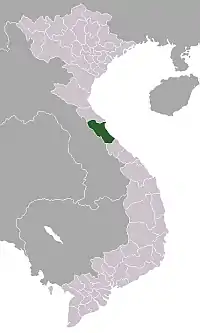
Ba Đồn is a town (thị xã) in Quảng Bình Province, Vietnam. The town is equal to a huyện and is located on National Route 1, about 40 km north of the provincial capital, Đồng Hới. The township is the commercial and service centre serving surrounding rural areas. Ba Đồn was incorporated into a 3rd municipality (town or thị xã) including some neighboring communes of Quảng Trạch District on December 20, 2013.[1]
Ba Đồn
Thị xã Ba Đồn | |
|---|---|
| Ba Đồn Town | |
 | |
Interactive map outlining Ba Đồn | |
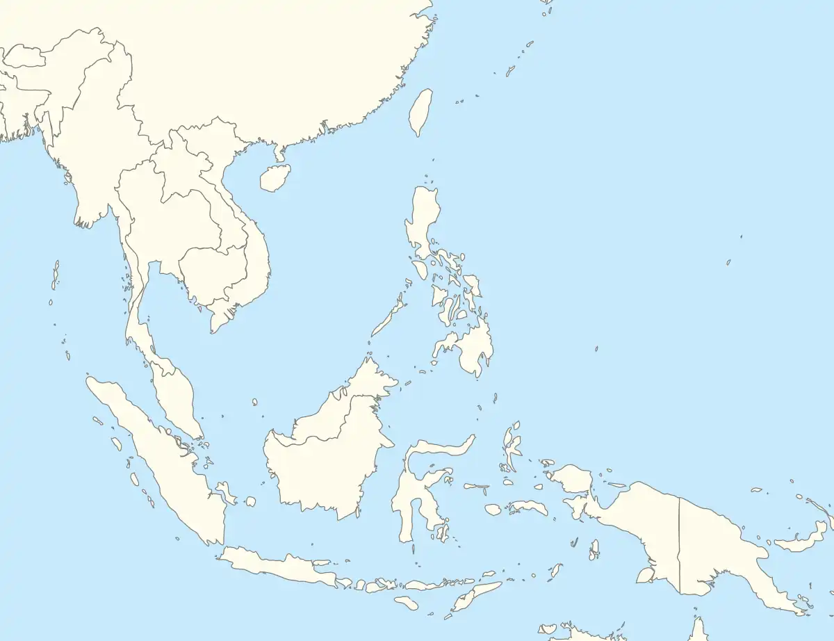
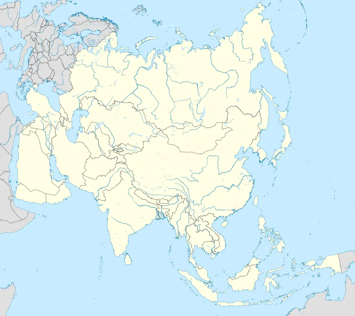
 Ba Đồn Location within Vietnam  Ba Đồn Location within Southeast Asia  Ba Đồn Location within Asia | |
| Coordinates: 17°45′17″N 106°25′23″E | |
| Country | |
| Province | Quảng Bình |
| Area | |
| • Total | 63 sq mi (162 km2) |
| Population (2019) | |
| • Total | 134,000 |
| Time zone | UTC+7 (Indochina Time) |
Ba Đồn has an area of 163.1828 km2 and its population in 2013 was 115,196. In 2012, Ba Đồn was recognised as a class IV municipality.[2]
Administrative subdivisions
Ba Don Town includes 6 urban wards (phường):
- Ba Đồn
- Quảng Thọ
- Quảng Long
- Quảng Thuận
- Quảng Phong
- Quảng Phúc
10 rural communes (xã):
- Quảng Minh
- Quảng Sơn
- Quảng Thủy
- Quảng Hòa
- Quảng Lộc
- Quảng Văn
- Quảng Tân
- Quảng Trung
- Quảng Tiên
- Quảng Hải
Climate
| Climate data for Ba Đồn | |||||||||||||
|---|---|---|---|---|---|---|---|---|---|---|---|---|---|
| Month | Jan | Feb | Mar | Apr | May | Jun | Jul | Aug | Sep | Oct | Nov | Dec | Year |
| Record high °C (°F) | 34.7 (94.5) |
36.0 (96.8) |
39.5 (103.1) |
40.8 (105.4) |
40.7 (105.3) |
40.2 (104.4) |
40.6 (105.1) |
39.7 (103.5) |
39.0 (102.2) |
35.3 (95.5) |
34.7 (94.5) |
32.5 (90.5) |
40.8 (105.4) |
| Average high °C (°F) | 21.6 (70.9) |
22.4 (72.3) |
25.0 (77.0) |
29.1 (84.4) |
32.6 (90.7) |
34.2 (93.6) |
34.2 (93.6) |
33.3 (91.9) |
31.1 (88.0) |
28.3 (82.9) |
25.4 (77.7) |
22.5 (72.5) |
28.3 (82.9) |
| Daily mean °C (°F) | 18.6 (65.5) |
19.5 (67.1) |
21.7 (71.1) |
24.9 (76.8) |
28.0 (82.4) |
29.8 (85.6) |
29.7 (85.5) |
28.9 (84.0) |
27.2 (81.0) |
25.0 (77.0) |
22.3 (72.1) |
19.5 (67.1) |
24.6 (76.3) |
| Average low °C (°F) | 16.6 (61.9) |
17.7 (63.9) |
19.7 (67.5) |
22.6 (72.7) |
25.0 (77.0) |
26.5 (79.7) |
26.5 (79.7) |
25.9 (78.6) |
24.6 (76.3) |
22.7 (72.9) |
20.2 (68.4) |
17.4 (63.3) |
22.1 (71.8) |
| Record low °C (°F) | 6.1 (43.0) |
9.1 (48.4) |
7.8 (46.0) |
13.4 (56.1) |
18.1 (64.6) |
20.4 (68.7) |
21.7 (71.1) |
21.3 (70.3) |
18.0 (64.4) |
16.0 (60.8) |
9.1 (48.4) |
7.6 (45.7) |
6.1 (43.0) |
| Average precipitation mm (inches) | 51.9 (2.04) |
33.5 (1.32) |
38.6 (1.52) |
51.2 (2.02) |
111.1 (4.37) |
89.0 (3.50) |
88.7 (3.49) |
172.5 (6.79) |
420.0 (16.54) |
605.6 (23.84) |
257.4 (10.13) |
97.7 (3.85) |
2,009.4 (79.11) |
| Average rainy days | 11.1 | 10.8 | 10.8 | 8.1 | 9.7 | 7.0 | 7.3 | 10.6 | 15.2 | 18.2 | 15.9 | 12.8 | 138.9 |
| Average relative humidity (%) | 88.5 | 89.6 | 89.1 | 87.0 | 81.4 | 74.8 | 73.4 | 77.8 | 84.9 | 87.2 | 86.8 | 86.9 | 83.9 |
| Mean monthly sunshine hours | 88.0 | 74.7 | 103.2 | 158.8 | 222.7 | 218.2 | 230.4 | 197.0 | 158.3 | 129.4 | 98.3 | 76.7 | 1,759.7 |
| Source: Vietnam Institute for Building Science and Technology[3] | |||||||||||||
Notes
- "Nghị quyết số 126/NQ-CP của Chính phủ: Về việc điều chỉnh địa giới hành chính để thành lập mới 2 xã thuộc huyện Đắk Hà, 3 xã thuộc huyện Sa Thầy và mở rộng địa giới hành chính phường Ngô Mây thuộc thành phố Kon Tum, tỉnh Kon Tum".
- Decision 367/QĐ-BXD Archived 2017-11-07 at the Wayback Machine dated 18 April 2012 by the Minister of Construction on recognising extended Ba Đồn Town meeting class IV municipality norm.
- "Vietnam Institute for Building Science and Technology" (PDF). Retrieved 16 August 2023.
This article is issued from Wikipedia. The text is licensed under Creative Commons - Attribution - Sharealike. Additional terms may apply for the media files.

