Baabdat
Baabdat (Arabic: بعبدات) is a town located in the Matn District of Mount Lebanon, 22 km from Beirut at an altitude ranging between 600 and 1100 meters above sea level.[1] The lush pine forests that surround the town make it a very popular summer resort for those escaping the busy coastal cities of Lebanon, especially the capital, Beirut. The town's proximity to Brummana, one of Mount Lebanon's most active summer destinations, makes Baabdat a major tourist destination in the summer.[2]
Baabdat
بعبدات | |
|---|---|
City | |
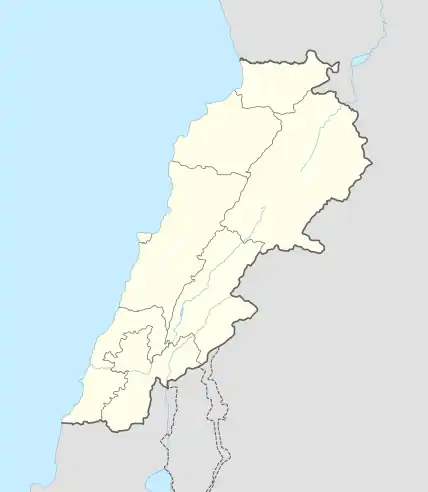
 Baabdat Location within Lebanon | |
| Coordinates: 33°53′N 35°40′E | |
| Country | |
| Governorate | Mount Lebanon Governorate |
| District | Matn District |
| Highest elevation | 1,100 m (3,600 ft) |
| Lowest elevation | 600 m (2,000 ft) |
| Time zone | UTC+2 (EET) |
| • Summer (DST) | UTC+3 (EEST) |
| Dialing code | +961 |
Demography
The inhabitants of Baabdat are members either of the Maronite Catholic Church, or the Melkite Greek Catholic Church.[3]
Etymology
The name "Baabdat" is derivative of the Aramaic words, beit abdutha, meaning "the home of adoration".[4] The Aramaic name refers to an ancient temple that was built by the Phoenicians to worship the ancient Canaanite, Greek and later Roman gods.[5]
History
When Lebanon was part of the Roman Empire, Baabdat was the center of wood choppers who transported trees to Beirut for use in ship construction.[6]
Notable people from Baabdat
- Émile Lahoud- Lebanon's former president
- Nassib Lahoud- politician
- Carmen Labaki- film director
- Nadine Labaki- director and actress
- Salma Hayek- director and actress (her father is from Baabdat)
- Jamil Lahoud- A former army officer and minister
Notables who live in Baabdat
Although a native of Beirut, Maxime Chaya (the first from his country to climb Everest and ski all-the-way to both poles) moved to Baabdat where he now lives year-long with his children Edgard and Kelly.[7]
Religious Structures
Like most mountain villages of Lebanon, Baabdat is home to numerous, historic churches, monasteries and convents.
- Saint Mamas Church, built in the 16th century
- Saint George Church, built in the mid-18th century
- Our Lady of Deliverance Church, built in 1851
- Saint Michael Greek Catholic Church
- Saint Anthony of Padua Convent, completed in 1900
Climate
| Climate data for Baabdat | |||||||||||||
|---|---|---|---|---|---|---|---|---|---|---|---|---|---|
| Month | Jan | Feb | Mar | Apr | May | Jun | Jul | Aug | Sep | Oct | Nov | Dec | Year |
| Average high °C (°F) | 12.7 (54.9) |
13.3 (55.9) |
16.0 (60.8) |
20.6 (69.1) |
24.8 (76.6) |
27.9 (82.2) |
29.6 (85.3) |
29.9 (85.8) |
27.5 (81.5) |
24.7 (76.5) |
19.5 (67.1) |
15.0 (59.0) |
21.8 (71.2) |
| Daily mean °C (°F) | 8.8 (47.8) |
9.2 (48.6) |
11.4 (52.5) |
15.1 (59.2) |
18.8 (65.8) |
21.7 (71.1) |
23.2 (73.8) |
23.5 (74.3) |
21.4 (70.5) |
19.0 (66.2) |
14.6 (58.3) |
10.9 (51.6) |
16.5 (61.6) |
| Average low °C (°F) | 4.9 (40.8) |
5.2 (41.4) |
6.8 (44.2) |
9.7 (49.5) |
12.8 (55.0) |
15.5 (59.9) |
16.8 (62.2) |
17.1 (62.8) |
15.4 (59.7) |
13.4 (56.1) |
9.8 (49.6) |
6.8 (44.2) |
11.2 (52.1) |
| Average precipitation mm (inches) | 238 (9.4) |
204 (8.0) |
167 (6.6) |
76 (3.0) |
30 (1.2) |
1 (0.0) |
1 (0.0) |
1 (0.0) |
6 (0.2) |
41 (1.6) |
114 (4.5) |
187 (7.4) |
1,066 (41.9) |
| Source: [8] | |||||||||||||
References
- "About Baabdat - Welcome to Baabdat". Archived from the original on 2007-06-09. Retrieved 2007-05-10.
- "Baabdat". Archived from the original on 2010-01-30. Retrieved 2007-05-10.
- Family, Labaki. "Baabdat Family Trees - Baabdat - The geography of Baabdat". Labaki Family. Retrieved 2021-07-06.
- "Baabdathِ". Baldati. Retrieved 2021-07-06.
- "Municipality of Baabdath". Archived from the original on 2011-07-22. Retrieved 2007-05-10.
- "Baabdat". Archived from the original on 2007-10-12. Retrieved 2007-05-10.
- "Maxime Chaya". Global Thinkers Forum. Retrieved 2021-07-06.
- "Climate: Baabdat". Climate-Data.org. Retrieved August 22, 2018.
