Bacho Kiro Peak
Bacho Kiro Peak (Bulgarian: връх Бачо Киро, romanized: vrah Bacho Kiro, IPA: [ˈvrɤɣ ˈbat͡ʃo ˈkiro]) is the rocky, partly ice-free peak rising to 1419 m[1] between Woodbury Glacier and Montgolfier Glacier on Danco Coast in Graham Land, Antarctica.
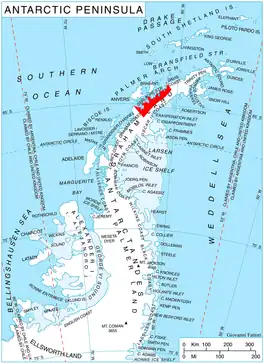
Location of Danco Coast.
The feature is named after the Bulgarian enlightener and revolutionary Bacho Kiro (Kiro Zanev, 1835–1876).
Location
Bacho Kiro Peak is located at 64°47′02″S 62°15′36″W, which is 4.35 km east of The Downfall, 5.55 km south-southwest of Sophie Cliff, and 2.9 km north of Mechit Buttress. British mapping in 1980.
Maps
- Antarctic Digital Database (ADD). Scale 1:250000 topographic map of Antarctica. Scientific Committee on Antarctic Research (SCAR). Since 1993, regularly upgraded and updated.
Notes
- Reference Elevation Model of Antarctica. Polar Geospatial Center. University of Minnesota, 2019
References
- Bacho Kiro Peak. SCAR Composite Antarctic Gazetteer.
- Bulgarian Antarctic Gazetteer. Antarctic Place-names Commission. (details in Bulgarian, basic data in English)
External links
- Bacho Kiro Peak. Copernix satellite image
This article includes information from the Antarctic Place-names Commission of Bulgaria which is used with permission.
This article is issued from Wikipedia. The text is licensed under Creative Commons - Attribution - Sharealike. Additional terms may apply for the media files.