Bager Island
Bager Island (Bulgarian: остров Багер, romanized: ostrov Bager, IPA: [ˈɔstrof ˈbagɛr]) is the rocky island 963 m long in west–east direction and 373 m wide in the Vedel Islands group of Wilhelm Archipelago in the Antarctic Peninsula region. Its surface area is 21 ha.[1]
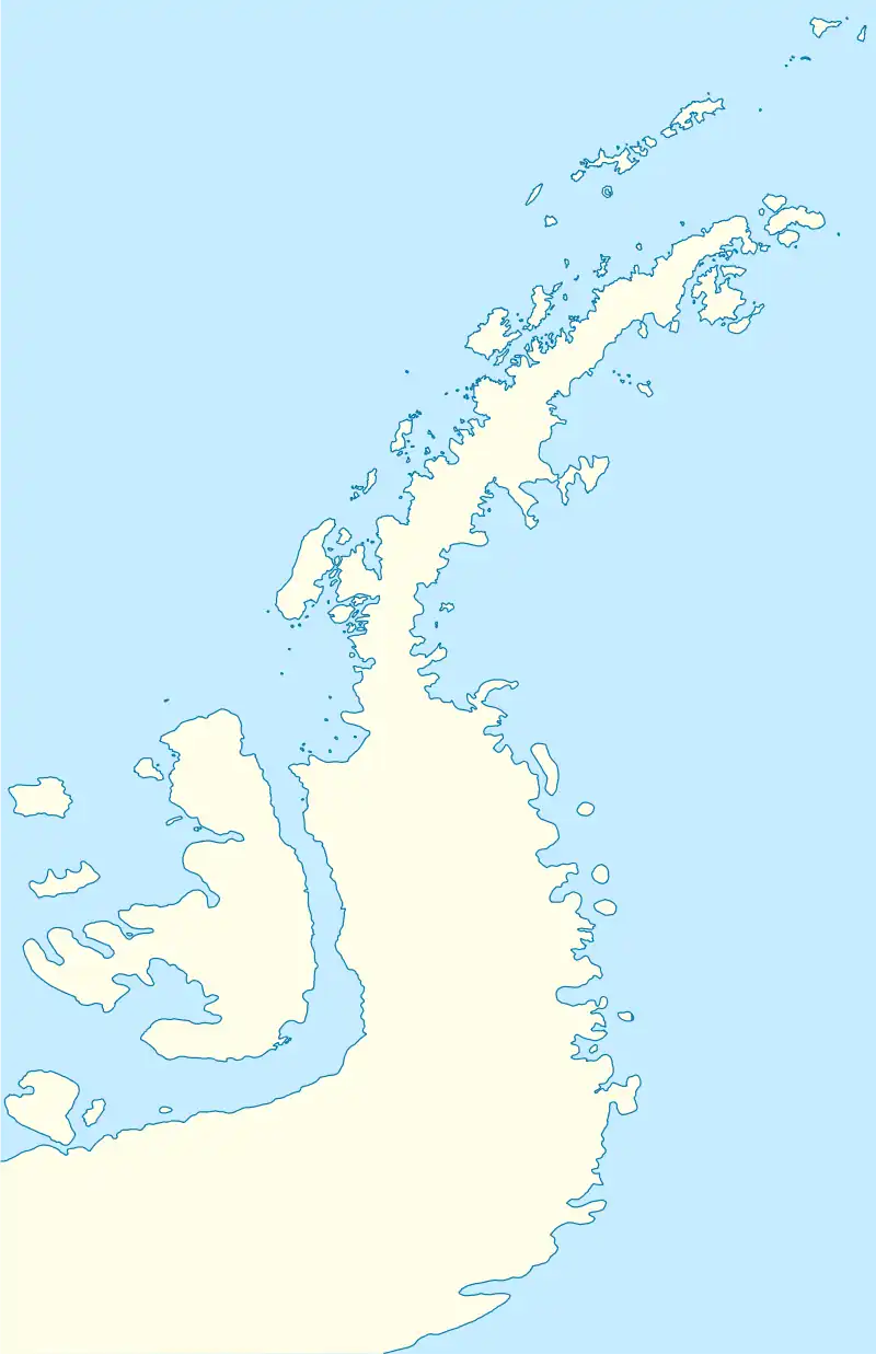
 Bager Island Location of Bager Island  Bager Island Bager Island (Antarctic Peninsula) | |
| Geography | |
|---|---|
| Location | Antarctica |
| Coordinates | 65°07′28″S 64°15′53″W |
| Archipelago | Wilhelm Archipelago |
| Area | 21 ha (52 acres) |
| Length | 963 m (3159 ft) |
| Width | 373 m (1224 ft) |
| Administration | |
| Administered under the Antarctic Treaty System | |
| Demographics | |
| Population | uninhabited |
The feature is so named because of its shape supposedly resembling an excavator (‘bager' in Bulgarian), and in association with other descriptive names of islands in the area.[1]
Location
Bager Island is located at 65°07′28″S 64°15′53″W, which is 245 m southwest of Rak Island, 5.77 km west by north of Hovgaard Island, 436 m north of Klamer Island, and 3.78 km east-southeast of Flank Island in the Myriad Islands group. British mapping in 2001.
Maps
- British Admiralty Nautical Chart 446 Anvers Island to Renaud Island. Scale 1:150000. Admiralty, UK Hydrographic Office, 2001
- Brabant Island to Argentine Islands. Scale 1:250000 topographic map. British Antarctic Survey, 2008
- Antarctic Digital Database (ADD). Scale 1:250000 topographic map of Antarctica. Scientific Committee on Antarctic Research (SCAR). Since 1993, regularly upgraded and updated
Notes
- Bager Island. SCAR Composite Gazetteer of Antarctica
References
- Bager Island. SCAR Composite Gazetteer of Antarctica
- Bulgarian Antarctic Gazetteer. Antarctic Place-names Commission. (details in Bulgarian, basic data in English)
External links
- Bager Island. Adjusted Copernix satellite image
This article includes information from the Antarctic Place-names Commission of Bulgaria which is used with permission.