Barva
Barva is a district of the Barva canton, in the Heredia province of Costa Rica.[1][2] The city is known for having a nice mix of rural and metropolitan landscape.
Barva | |
|---|---|
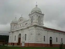
 Barva Church | |
Barva district | |
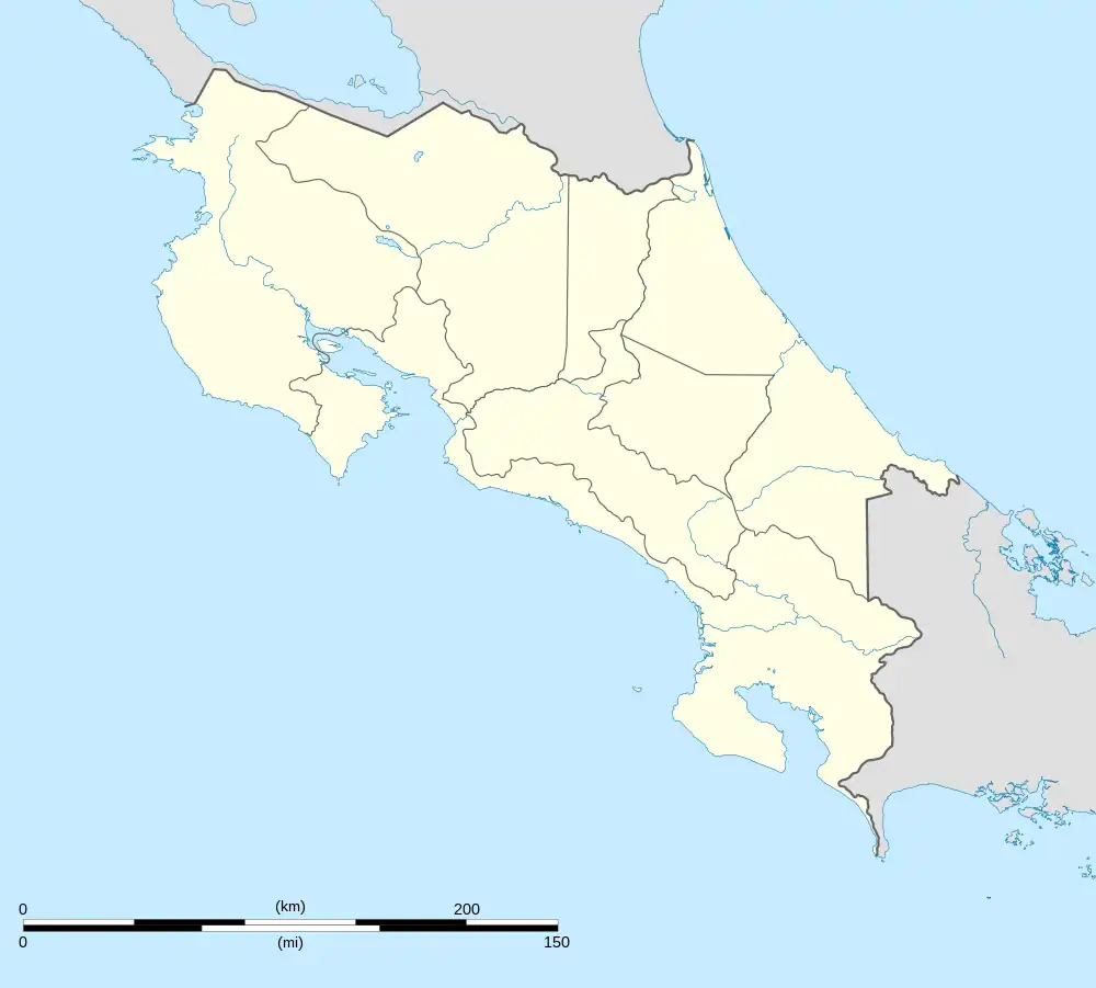
 Barva Barva district location in Costa Rica | |
| Coordinates: 10.0203917°N 84.1233912°W | |
| Country | |
| Province | Heredia |
| Canton | Barva |
| Area | |
| • Total | 0.82 km2 (0.32 sq mi) |
| Elevation | 1,176 m (3,858 ft) |
| Population (2011) | |
| • Total | 4,997 |
| • Density | 6,100/km2 (16,000/sq mi) |
| Time zone | UTC−06:00 |
| Postal code | 40201 |
| Climate | Am |
Toponymy
The name comes from Barvac or Barvak a cacique of the area around 1569, which in turn might come from either:
- From New Tlapallan in Nahuatl language, or Tla pallapan, which in Huetar language was Tabaraba or Abaraba, hispanicized as Barba and meaning Black River or Dark River as explained by José Fidel Tristán in 1910.[3][4]
- Bal (town) and wac (anteater), meaning Anteater Town, according to Luis Ferrero.[4]
- Bar or bur (bees) with ba or bac (tribe), meaning Bees Tribe, as explained by bishop Bernardo Augusto Thiel y Hoffmann in late 19th century, from sources from 1575 and 1599.[4]
By Decree 188 of 4 October 1974, the name changes from Barba to Barva.
Geography
Barva has an area of 0.82 km²[5] and an elevation of 1,176 metres.[1]
It is located 3 km north of Heredia.
Culture
Patron saint and mask festival
The patron saint of the town is Saint Bartholomew. A large church, Iglesia de San Bartolomé de Barva, was established between 1568 and 1575 is in Barva. Every year on August 24, the people of the town have a celebration dedicated to the saint, and the highlight of the celebration is the unique masquerade, where people go out wearing masks and hit others with cow and pig bladders.
Demographics
| Historical population | |||
|---|---|---|---|
| Census | Pop. | %± | |
| 1864 | 708 | — | |
| 1883 | 1,057 | 49.3% | |
| 1892 | 912 | −13.7% | |
| 1927 | 831 | −8.9% | |
| 1950 | 1,116 | 34.3% | |
| 1963 | 1,938 | 73.7% | |
| 1973 | 3,131 | 61.6% | |
| 1984 | 3,911 | 24.9% | |
| 2000 | 4,890 | 25.0% | |
| 2011 | 4,997 | 2.2% | |
|
Instituto Nacional de Estadística y Censos[6] |
|||
For the 2011 census, Barva had a population of 4,997 inhabitants.[8]
Transportation
Road transportation
The district is covered by the following road routes:
Notable people
References
- "Declara oficial para efectos administrativos, la aprobación de la División Territorial Administrativa de la República N°41548-MGP". Sistema Costarricense de Información Jurídica (in Spanish). 19 March 2019. Retrieved 26 September 2020.
- División Territorial Administrativa de la República de Costa Rica (PDF) (in Spanish). Editorial Digital de la Imprenta Nacional. 8 March 2017. ISBN 978-9977-58-477-5.
- Gagini, Carlos (1917). Los aborigenes de Costa Rica.
- Guillermo E. Alvarado Induni; Oscar Luis Chavarría-Aguilar, Guillermo E Alvarado Induni (2005). Costa Rica: Land of Volcanoes. EUNED. pp. 212–213. ISBN 978-9968-31-366-7.
- "Área en kilómetros cuadrados, según provincia, cantón y distrito administrativo". Instituto Nacional de Estadística y Censos (in Spanish). Archived from the original on 24 October 2020. Retrieved 26 September 2020.
- "Instituto Nacional de Estadística y Censos" (in Spanish).
- "Sistema de Consulta de a Bases de Datos Estadísticas". Centro Centroamericano de Población (in Spanish).
- "Censo. 2011. Población total por zona y sexo, según provincia, cantón y distrito". Instituto Nacional de Estadística y Censos (in Spanish). Retrieved 26 September 2020.