Basalt River
The Basalt River is a river in North Queensland, Australia. The river rises on the eastern slopes of the Great Dividing Range and flows generally east into the Burdekin River about 60 kilometres (37 mi) north of Charters Towers. The river has a length of 179 kilometres (111 mi)[1] and a catchment size of 2,900 square kilometres (1,100 sq mi).[2]
| Basalt | |
|---|---|
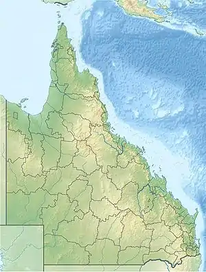
 Location of Basalt River mouth in Queensland | |
| Location | |
| Country | Australia |
| State | Queensland |
| Region | North Queensland |
| Physical characteristics | |
| Source | Great Dividing Range |
| • location | below Kings Knob |
| • coordinates | 19°56′35″S 144°47′41″E |
| • elevation | 750 m (2,460 ft) |
| Mouth | confluence with the Burdekin River |
• location | north of Charters Towers |
• coordinates | 19°37′51″S 145°52′44″E |
• elevation | 277 m (909 ft) |
| Length | 179 km (111 mi) |
| Basin size | 2,900 km2 (1,100 sq mi) |
| Basin features | |
| River system | Burdekin River |
| Tributaries | |
| • left | Harry Creek, Wyandotte Creek, Little Limestone Creek, Gorge Creek, Sandy Creek (Queensland), Stockyard Creek (Queensland) |
| • right | Ezzy Creek, Jacko Creek |
| [1] | |
The river catchment is mostly used for livestock grazing.[3] The river contains a number of large, permanent, deep and clear waterholes.
References
- "Map of Basalt River, QLD". Bonzle Digital Atlas of Australia. Retrieved 10 November 2015.
- "Burdekin River". Bureau of Meteorology (Australia). Retrieved 17 June 2009.
- "Upper Burdekin Basin". NQ Dry Tropics. Archived from the original on 17 February 2011. Retrieved 26 September 2011.
This article is issued from Wikipedia. The text is licensed under Creative Commons - Attribution - Sharealike. Additional terms may apply for the media files.