Berdavan, Armenia
Berdavan
Բերդավան | |
|---|---|
 A view of Berdavan | |
 Berdavan 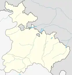 Berdavan | |
| Coordinates: 41°12′10″N 45°00′12″E | |
| Country | Armenia |
| Province | Tavush |
| Municipality | Noyemberyan |
| Government | |
| Population | |
| • Total | 2,987 |
| Time zone | UTC+4 (AMT) |
| Berdavan, Armenia at GEOnet Names Server | |
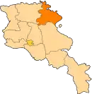
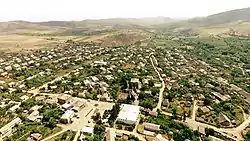
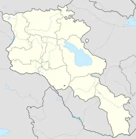
Berdavan (Armenian: Բերդավան) is a village on the Kolb River in the Noyemberyan Municipality of the Tavush Province of Armenia. The village is located about 2 km north of the town of Noyemberyan, and near the villages of Dovekh, Koghb and Zorakan. Berdavan Fortress is located on a nearby hilltop.
Toponymy
Historically, the village was called Tkhadzor, then Ghalacha, and in 1978 it was renamed Berdavan.
History
The village of Ghalacha was relocated in 1893 – 1900. The relocation was due to the presence of mosquitos which were thought to bring malaria, but at the new site there were problems with access to drinking water. The school in Ghalacha was opened in 1906, after a period when there were no official schools in the area.
During the Second World War, Berdavan lost more than half of its male population, and during the First Nagorno-Karabakh War the village was heavily shelled. The village has a monument dedicated to the people who died in World War II.
Gallery
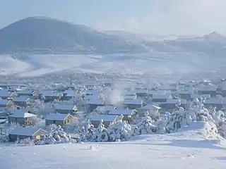 Berdavan in winter
.jpg.webp) Scenery around the village
Scenery around the village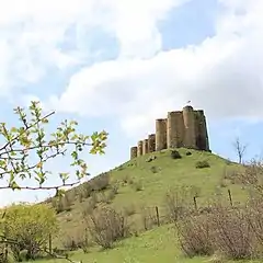 Berdavan Fortress
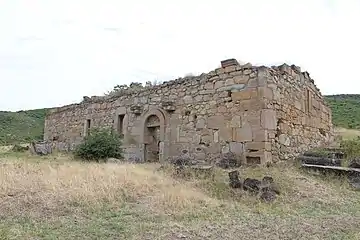 St. Nshan Church near Berdavan
