Beroun, Minnesota
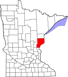
Beroun is an unincorporated community in Mission Creek Township, Pine County, Minnesota, United States.
Beroun | |
|---|---|
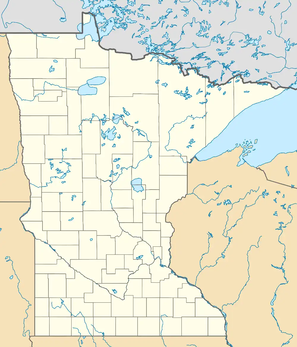
 Beroun Location of the community of Beroun within Mission Creek Township, Pine County  Beroun Beroun (the United States) | |
| Coordinates: 45°54′37″N 92°57′19″W | |
| Country | United States |
| State | Minnesota |
| County | Pine |
| Township | Mission Creek Township |
| Elevation | 974 ft (297 m) |
| Population | |
| • Total | 120 |
| Time zone | UTC-6 (Central (CST)) |
| • Summer (DST) | UTC-5 (CDT) |
| ZIP code | 55063 |
| Area code | 320 |
| GNIS feature ID | 639974[1] |
Interstate 35 and Pine County Roads 14 and 61 are three of the main routes in the community. I-35 runs north–south, and County Road 14 (Beroun Crossing Road) runs east–west.
Beroun is between Hinckley and Pine City.
Founded circa 1882 as "Brown's Hill" along the Northern Pacific Railroad[2] line, it was renamed in 1895 when a post office called "Beroun" was established, and remained in operation until 1993.[3] The community was founded by Czech immigrants, who named it after the town of Beroun in the Czech Republic. Beroun was a station on the Northern Pacific Railroad.[4]
ZIP codes 55063 (Pine City), 55037 (Hinckley), and 55007 (Brook Park) all intersect near Beroun.
References
- "Beroun, Minnesota". Geographic Names Information System. United States Geological Survey, United States Department of the Interior.
- Cram, George (1882). New indexed commercial atlas of the western and southern states. A complete guide for business men, showing all towns, post offices, rail and express routes, &c., &c. George Franklin Cram. p. 66-67.
- "Pine County". Jim Forte Postal History. Retrieved July 30, 2015.
- Upham, Warren (1920). Minnesota Geographic Names: Their Origin and Historic Significance. Minnesota Historical Society. p. 411.
- Rand McNally Road Atlas – 2007 edition – Minnesota entry
- Official State of Minnesota Highway Map – 2011/2012 edition
