Big Knife Provincial Park
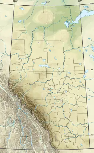
Big Knife Provincial Park is a small provincial park in central Alberta, Canada.[1] It was established in 1962 on the Battle River, at the confluence with Big Knife Creek, and is located between the villages of Donalda and Forestburg, 10 km south of Highway 53, 88 km from the city of Camrose. According to tradition, Big Knife Creek's name commemorates a battle between two Aboriginal Canadians, namely Big Man and Knife.[2]
| Big Knife Provincial Park | |
|---|---|
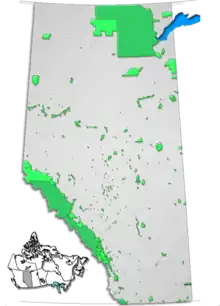
 Location of Big Knife Provincial Park in Alberta | |
| Location | County of Paintearth No. 18, |
| Nearest city | Forestburg, Camrose |
| Coordinates | 52°29′23″N 112°12′38″W |
| Area | 2.44 km2 (0.94 sq mi) |
| Established | October 2, 1962 |
| Governing body | Alberta Tourism, Parks and Recreation |
Activities
Many activities in the park are water related and include canoeing, kayaking, swimming, fishing, and power boating. Birdwatching and camping at the Big Knife Campground are also popular. The park is open during the summer (from May to September), with only limited access during the winter months.
See also
References
- "Big Knife Provincial Park". Geographical Names Data Base. Natural Resources Canada.
- Place-names of Alberta. Ottawa: Geographic Board of Canada. 1928. p. 19.
External links
- Alberta Community Development - Big Knife Provincial Park
This article is issued from Wikipedia. The text is licensed under Creative Commons - Attribution - Sharealike. Additional terms may apply for the media files.