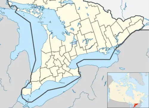
Bluewater, Ontario
Bluewater is a municipality located in Huron County, Ontario, which is part of Southwestern Ontario, Ontario, Canada. As of 2016, the municipality has a population of 7,136.
Bluewater | |
|---|---|
| Municipality of Bluewater | |
 | |
 Bluewater | |
| Coordinates: 43°27′N 81°36′W | |
| Country | |
| Province | |
| County | Huron |
| Formed | January 1, 2001 |
| Government | |
| • Mayor | Paul Klopp |
| • Deputy Mayor | John Becker |
| • Federal riding | Huron—Bruce |
| • Prov. riding | Huron—Bruce |
| Area | |
| • Land | 416.99 km2 (161.00 sq mi) |
| Population (2016)[2] | |
| • Total | 7,136 |
| • Density | 17.1/km2 (44/sq mi) |
| Time zone | UTC-5 (EST) |
| • Summer (DST) | UTC-4 (EDT) |
| Postal Code | N0M |
| Area codes | 519 and 226 |
| Website | www |
History
Bluewater was formed on January 1, 2001 when the Government of Ontario amalgamated the townships of Hay and Stanley with the villages of Bayfield, Hensall and Zurich.[3]
Geography
Bluewater's western boundary is Lake Huron. Its northern boundary is the Bayfield River between Lake Huron and Clinton. Highway 4 is the eastern boundary, while Huron Road 83 and the Exeter urban boundary (in South Huron) form the southern boundary.
Communities
Bluewater includes the following communities:
- Hay Township: Blake (shared with Stanley Township), Dashwood, Hensall, Kippen (shared with Huron East)(and formerly shared between Hay, Stanley and Tuckersmith Townships), St. Joseph, Zurich, Hay, Hills Green, Johnson's Mills, Rodgerville, Sarepta
- Stanley Township: Bayfield, Brucefield (shared with Huron East), Kippen (shared with Huron East)(and formerly shared between Hay, Stanley and Tuckersmith Townships), Varna; Bannockburn, Dinsley Terrace, Drysdale, Goshen
Demographics
In the 2021 Census of Population conducted by Statistics Canada, Bluewater had a population of 7,540 living in 3,302 of its 4,882 total private dwellings, a change of 5.7% from its 2016 population of 7,136. With a land area of 416.7 km2 (160.9 sq mi), it had a population density of 18.1/km2 (46.9/sq mi) in 2021.[5]
Notable persons
- William Aberhart – Premier of Alberta
- Ryan O'Reilly – Professional hockey player and Stanley Cup champion
- Babe Siebert – Professional hockey player
See also
References
- "Bluewater, Ontario (Code 3540010) census profile". 2011 Census of Population. Statistics Canada. Archived from the original on 2018-10-16. Retrieved 2012-08-10.
- "Census Profile, 2016 Census Bluewater, Ontario". Statistics Canada. Retrieved April 30, 2019.
- "Bluewater Official Plan" (PDF). municipalityofbluewater.ca. 2005-04-05. Archived (PDF) from the original on 2021-08-26. Retrieved 2021-08-26.
- Statistics Canada: 1996, 2001, 2006 census
- "Population and dwelling counts: Canada, provinces and territories, census divisions and census subdivisions (municipalities), Ontario". Statistics Canada. February 9, 2022. Retrieved March 31, 2022.
External links
Places adjacent to Bluewater, Ontario | ||||||||||||||||
|---|---|---|---|---|---|---|---|---|---|---|---|---|---|---|---|---|
| ||||||||||||||||