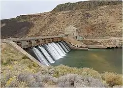
Diversion Dam and Deer Flat Embankments
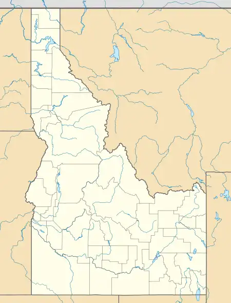
The Diversion Dam and Deer Flat Embankments is the collective name given in the U.S. National Register of Historic Places program to a set of three dams in the western United States in southwestern Idaho, near Boise and Nampa.
Diversion Dam and Deer Flat Embankments | |
 | |
  | |
| Location | Southwestern Idaho, U.S. |
|---|---|
| Nearest city | Boise (Diversion Dam) Nampa (Deer Flat Embankments) |
| Coordinates | 43°32′16″N 116°05′36″W (Diversion Dam) 43°34′26″N 116°42′23″W (Deer Flat Embankments) |
| Area | Approx. 65 acres (26 ha)[1] |
| Built | 1906–1912[1] |
| NRHP reference No. | 76000666 |
| Added to NRHP | March 15, 1976 |
The dams are components of the U.S. Bureau of Reclamation's Boise Project, and were designed to provide irrigation water to 500,000 acres (780 sq mi; 2,000 km2) of Treasure Valley farmland in conjunction with the New York Irrigation District (New York Canal). The Boise River Diversion Dam also provides hydroelectric generation capacity.[1] The dams were listed on the National Register in 1976.[2]
The three dams that make up the Diversion Dam and Deer Flat Embankments are:
- Boise River Diversion Dam
- Deer Flat Upper Embankment
- Deer Flat Lower Embankment
See also
References
- Wells, Merle (February 6, 1976), National Register of Historic Places Inventory — Nomination Form: Diversion Dam and Deer Flat Embankments (PDF), retrieved March 11, 2015.
- "Department of the Interior, Heritage Conservation and Recreation Service: National Register of Historic Places; Annual Listing of Historic Properties", 44 FR 7416 at 7459 (February 6, 1979).
This article is issued from Wikipedia. The text is licensed under Creative Commons - Attribution - Sharealike. Additional terms may apply for the media files.

