Bon Ayr, Kentucky
Bon Ayr is an unincorporated community in Barren County, Kentucky, United States. It was also known as Bonayer.
Bon Ayr | |
|---|---|
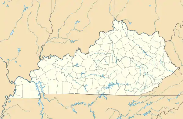 Bon Ayr Location within the state of Kentucky  Bon Ayr Bon Ayr (the United States) | |
| Coordinates: 37°1′28″N 86°3′32″W | |
| Country | United States |
| State | Kentucky |
| County | Barren |
| Elevation | 768 ft (234 m) |
| Time zone | UTC-6 (Central (CST)) |
| • Summer (DST) | UTC-5 (CST) |
| GNIS feature ID | 507546[1] |
Geography
Bon Ayr is located in west-central Barren County at the crossroads intersection of U.S. Route 68 (which runs concurrently with Kentucky Route 80) and Kentucky Route 255. It is located about 5.5 miles (8.9 km) west-northwest of Glasgow.[2]
References
- U.S. Geological Survey Geographic Names Information System: Bon Ayr, Kentucky
- DeLorme (2010). Kentucky Atlas & Gazetteer (Map). 1:150000. Yarmouth, ME: DeLorme. p. 65. § H7. ISBN 0-89933-340-0.
Municipalities and communities of Barren County, Kentucky, United States | ||
|---|---|---|
| Cities | 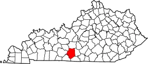 Location of Barren County, Kentucky | |
| CDP | ||
| Unincorporated communities | ||
This article is issued from Wikipedia. The text is licensed under Creative Commons - Attribution - Sharealike. Additional terms may apply for the media files.