Botala
Botala (Urdu: بوتالہ), is a village and one of the 51 Union Councils of Khushab District in the Punjab Province of Pakistan. It is situated 3.5 km south from the main Mianwali-Lahore road. It is about 12 kilometers distance from district headquarters Jauahrabad and 60 kilometers from divisional headquarters Sargodha.
Botala بوتالہ | |
|---|---|
Village and union council | |
 | |
| Country | Pakistan |
| Region | Punjab Province |
| District | Khushab District |
| Population | |
| • Total | 36,000 |
| Time zone | UTC+5 (PST) |
Areas
- Area: about 10,000 acres (40 km2).
- Sub Areas: Pindi, Jhugi Manday Wali, Handan Wala, Balkian Aala Boad, Neher Pul Jabbi
- Different parts of the agricultural areas of the village: Tapian, Gada Maar, Jhugi Manday Wali, Hadan Wala, Shero, Kamoon
Population
Population is about 36,000.
Geography
The lands of the village are fertile with 98% irrigated areas and 2% desert.
Economy
PICS Gallery
- Botala, Khushab
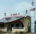 Masjid @ Botala Adda
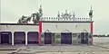
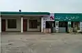 Hotel @ Botala Adda
 Govt Elementary School for Boys, Botala
 Govt Elementary School for Girls, Botala
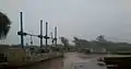 Head, Botala
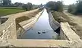 Botala Miner Canal
 Darbar Baba Qamer Ali, Botala
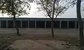 Janaza Gah, Botala
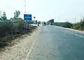 View of Botala Adda
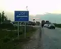
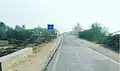 Botala Entrance
 Botala-42 chak road
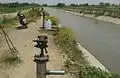 Loc. Near Govt Boys School
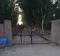 Basic Health Unit
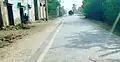 Pindi, Botala
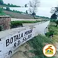 بوتالہ نہر
External links
![]() Media related to Botala at Wikimedia Commons
Media related to Botala at Wikimedia Commons
Administrative divisions of Khushab District | ||
|---|---|---|
| Capital | 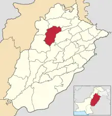 | |
| Tehsils | ||
| Towns | ||
| Union councils |
| |
This article is issued from Wikipedia. The text is licensed under Creative Commons - Attribution - Sharealike. Additional terms may apply for the media files.