Brâncoveni
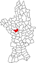
Brâncoveni is a commune in Olt County, Oltenia, Romania. It is composed of four villages: Brâncoveni, Mărgheni, Ociogi, and Văleni. It covers an area of 39.7 km2 (15.3 sq mi).[2]
Brâncoveni | |
|---|---|
.jpg.webp) Brâncoveni Monastery | |
 Location in Olt County | |
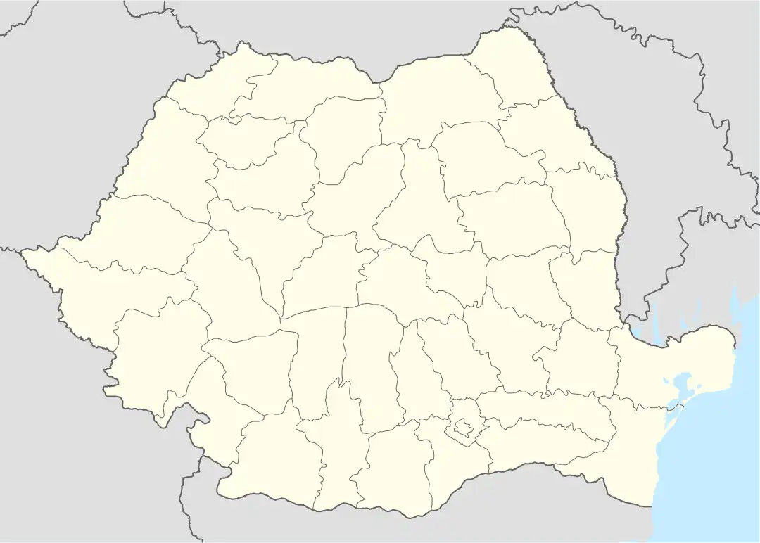
 Brâncoveni Location in Romania | |
| Coordinates: 44°19′N 24°18′E | |
| Country | Romania |
| County | Olt |
| Government | |
| • Mayor (2020–2024) | Ion Cheroiu (PSD) |
| Area | 39.7 km2 (15.3 sq mi) |
| Elevation | 126 m (413 ft) |
| Population (2011-10-31)[1] | 2,730 |
| • Density | 69/km2 (180/sq mi) |
| Time zone | EET/EEST (UTC+2/+3) |
| Postal code | 237050 |
| Vehicle reg. | OT |
| Website | www |
Geography
The commune is situated in the Wallachian Plain, at an altitude of 126 m (413 ft). It lies on the right bank of the Olt River; the Oltișor flows through Ociogi village.
Brâncoveni is located in the central part of Olt County, 19 km (12 mi) south of the county seat, Slatina.[2] It is crossed by the national road DN64, which runs from Caracal, 25 km (16 mi) to the south, to Râmnicu Vâlcea, 95 km (59 mi) to the north.
Natives
- Matei Basarab (1588–1654), Prince of Wallachia between 1632 and 1654
- Constantin Brâncoveanu (1654–1714), Prince of Wallachia between 1688 and 1714
References
- "Populaţia stabilă pe judeţe, municipii, oraşe şi localităti componenete la RPL_2011" (XLS). National Institute of Statistics.
- "Localizare pe hartă". www.primariabrancoveni.ro. Brâncoveni townhall. Retrieved August 16, 2023.

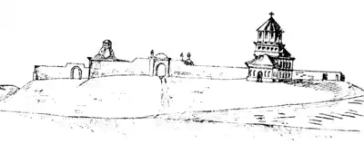
Friedrich Schwantz von Springfels (1723): Sketch of Prince Brâncoveanu's palace in Brâncoveni, done during the period when Oltenia had come to be ruled by the Habsburgs
This article is issued from Wikipedia. The text is licensed under Creative Commons - Attribution - Sharealike. Additional terms may apply for the media files.
