Bream Head
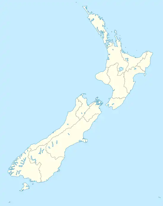
Bream Head is a promontory on the east coast of Northland in the North Island of New Zealand. Located at the end of a 30 kilometre-long peninsula, the head juts into the Pacific Ocean to the southeast of Whangārei. The Te Whara Track in the Bream Head Scenic Reserve is at least 700 years old.[1] The Hen and Chicken Islands are located off the headland at a distance of 12 kilometres. It forms the northern extremity of Bream Bay, and guards the entrance to Whangārei Harbour, a natural inlet extending to the northwest. The Marsden Point Oil Refinery is located on the opposing shore of the harbour five kilometres to the west.
Bream Head
Māori: Te Whara | |
|---|---|
 Bream Head and surrounding islands viewed from neighbouring Mt Manaia | |
 Bream Head | |
| Coordinates: 35.85426°S 174.59132°E | |
| Location | Northland, New Zealand |
| Offshore water bodies | Southern Pacific Ocean |
| Native name | Māori: Te Whara |
| Volcanic field | Taurikura volcanic complex |
| Last eruption | 19.1 million years ago |
To Bream Head's immediate north is a long sandy beach called Ocean Beach.
Biology
It contains a scenic reserve, the Bream Head Scenic Reserve, which unlike Bream Head is an official name.[2] This has a long history of Māori occupation, being now wāhi tapu, and is one of the most important coastal broadleaf forest reserves in Northland with its population of native flax snail – pūpūharakeke[1] and Whirinaki skinks.[3]
Geology
Bream Head features a prominent bluff usually known by the same name or Te Whara 476 metres (1,562 ft) in height,[4] and to its west Mount Lion at a height of 395 metres (1,296 ft), the remains of a Miocene andesitic volcano.
Gallery
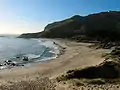 Ocean Beach, looking South
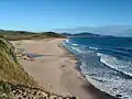 Ocean Beach, looking North
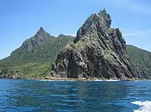 The eastern tip of Bream Head
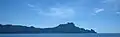 Bream Head, viewed from the south
References
- "Bream Head Scenic Reserve". Retrieved 17 January 2023.
- NZ gazetteer Bream Head
- "New Zealand Herpetological Society:Kakerakau skink Oligosoma kakerakau (Barr et al. 2021)". Retrieved 17 January 2023.
- NZ TopoMap:Bream Head