Brooks Crossroads, North Carolina
Brooks Crossroads, also called Brooks Cross Roads, is an unincorporated community in Yadkin County, North Carolina, United States on U.S. Highway 421, east of Interstate 77.
Brooks Crossroads, North Carolina | |
|---|---|
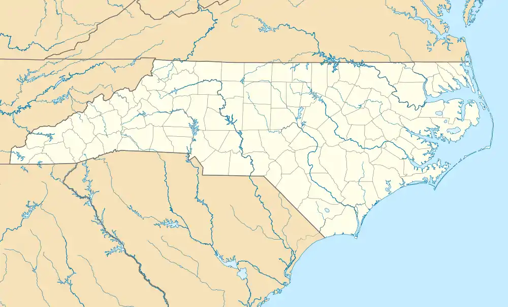
 Location of Brooks Crossroads in North Carolina  Brooks Crossroads, North Carolina (the United States) | |
| Coordinates: 36°07′12″N 80°46′23″W | |
| Country | United States |
| State | North Carolina |
| County | Yadkin |
| Elevation | 1,089 ft (332 m) |
| Time zone | UTC-5 (Eastern (EST)) |
| • Summer (DST) | UTC-4 (EDT) |
| ZIP code | 27020[2] |
| Area code | 336 |
| FIPS code | 37-37197 |
| GNIS feature ID | 981978[1] |
| Other names | Brooks Cross Roads Centre Hill[1] |
References
- U.S. Geological Survey Geographic Names Information System: Brooks Crossroads, North Carolina. Retrieved on 2008-03-22.
- "Brooks Cross Roads NC". ZIP Code Lookup. Retrieved June 9, 2008.
This article is issued from Wikipedia. The text is licensed under Creative Commons - Attribution - Sharealike. Additional terms may apply for the media files.
