Burbank, South Dakota
Burbank is an unincorporated community and a census-designated place (CDP) in Clay County, South Dakota, United States.[2] The population was 93 at the 2020 census.[4]
Burbank, South Dakota | |
|---|---|
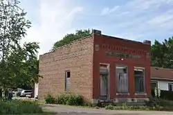 The old Bank of Burbank building | |
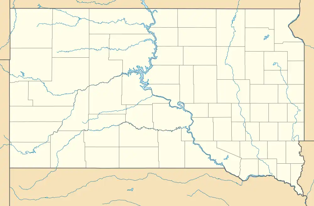 Burbank Location within the state of South Dakota  Burbank Burbank (the United States) | |
| Coordinates: 42°44′46″N 96°49′58″W | |
| Country | United States |
| State | South Dakota |
| County | Clay |
| Area | |
| • Total | 0.31 sq mi (0.80 km2) |
| • Land | 0.31 sq mi (0.80 km2) |
| • Water | 0.00 sq mi (0.00 km2) |
| Elevation | 1,142 ft (348 m) |
| Population | |
| • Total | 93 |
| • Density | 302.93/sq mi (116.97/km2) |
| Time zone | UTC-6 (Central (CST)) |
| • Summer (DST) | UTC-5 (CDT) |
| ZIP codes | 57010 |
| FIPS code | 46-08500 |
| GNIS feature ID | 2813011[2] |
Burbank was laid out in 1873, and it is named in honor of John A. Burbank, the fourth Governor of Dakota Territory.[5]
References
- "ArcGIS REST Services Directory". United States Census Bureau. Retrieved October 15, 2022.
- U.S. Geological Survey Geographic Names Information System: Burbank, South Dakota
- "Census Population API". United States Census Bureau. Retrieved October 15, 2022.
- "U.S. Census Bureau: Burbank CDP, South Dakota". www.census.gov. United States Census Bureau. Retrieved July 21, 2022.
- Federal Writers' Project (1940). South Dakota place-names, v.1-3. University of South Dakota. p. 29.
- "Census of Population and Housing". Census.gov. Retrieved June 4, 2016.
Municipalities and communities of Clay County, South Dakota, United States | ||
|---|---|---|
| Cities |  | |
| Town | ||
| CDPs | ||
| Other communities | ||
| Footnotes | ‡This populated place also has portions in an adjacent county or counties | |
This article is issued from Wikipedia. The text is licensed under Creative Commons - Attribution - Sharealike. Additional terms may apply for the media files.