Butebo
Butebo is a town in the Eastern Region of Uganda. It is the chief municipal, administrative and commercial center of Butebo District.
Butebo | |
|---|---|
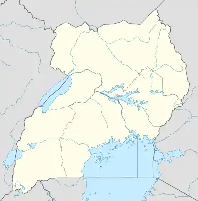
 Butebo Location in Uganda | |
| Coordinates: 01°11′40″N 33°55′20″E | |
| Country | |
| Admin. region | Eastern Region |
| District | Butebo District |
| Elevation | 3,648 ft (1,112 m) |
Location
Butebo is located approximately 30 kilometres (19 mi), by road, north-east of Pallisa, the nearest large town.[1] This is approximately 51 kilometres (32 mi), north-west of Mbale, the largest city in Eastern Uganda.[2] Butebo is about 213 kilometres (132 mi), by road, north-east of Kampala, the capital and largest city of Uganda.[3] The geographical coordinates of Butebo are:01°11'40.0"N, 33°55'20.0"E (Latitude:1.194444; Longitude:33.922222).[4] The town of Butebo sits at an average elevation of 1,112 metres (3,648 ft), above sea-level.[5]
Points of interest
- The headquarters of Butebo District Local Government[6]
- The offices of Butebo Town Council
- The headquarters of Butebo sub-county[6]
- Butebo Central Market - The largest source of fresh produce in the town
- Butebo Health Centre IV[7]
See also
References
- GFC (14 October 2017). "Distance between Butebo, Eastern Region, Uganda and Pallisa, Eastern Region, Uganda". Globefeed.com (GFC). Retrieved 14 October 2017.
- GFC (14 October 2017). "Distance between Butebo, Eastern Region, Uganda and Mbale, Eastern Region, Uganda". Globefeed.com (GFC). Retrieved 14 October 2017.
- GFC (14 October 2017). "Distance between Post Office Building, Kampala Road, Kampala, Uganda and Butebo, Eastern Region, Uganda". Globefeed.com (GFC). Retrieved 14 October 2017.
- Google (14 October 2017). "Location of Butebo, Butebo District, Eastern Region, Uganda" (Map). Google Maps. Google. Retrieved 14 October 2017.
- FMN (14 October 2017). "Elevation of Butebo, Uganda". Floodmap.net (FMN). Retrieved 14 October 2017.
- Okwakol, Lawrence (3 October 2017). "New Butebo district has one vehicle". New Vision. Kampala. Retrieved 14 October 2017.
- Armpass (June 2017). "Improvement of Butebo Health Centre IV". Kira Town: Armpass Technical Services Limited (Armpass). Retrieved 14 October 2017.
This article is issued from Wikipedia. The text is licensed under Creative Commons - Attribution - Sharealike. Additional terms may apply for the media files.