Caberfae, Michigan
Caberfae (/ˈkæbərˌfeɪ/ KAB-ər-fay) is an unincorporated community and census-designated place (CDP) in Wexford County in the U.S. state of Michigan.[2] The community is located within Slagle Township to the north and South Branch Township to the south. The population of the CDP was 72 at the 2020 census.
Caberfae, Michigan | |
|---|---|
.jpg.webp) Looking south along Dogwood Drive | |
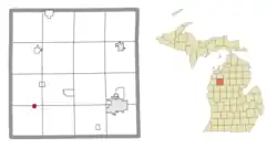
 Location within Wexford County | |
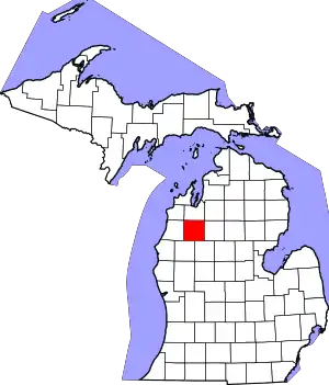
 Caberfae Location within the state of Michigan  Caberfae Location within the United States | |
| Coordinates: 44°14′59″N 85°43′30″W | |
| Country | United States |
| State | Michigan |
| County | Wexford |
| Townships | Slagle and South Branch |
| Area | |
| • Total | 0.44 sq mi (1.15 km2) |
| • Land | 0.44 sq mi (1.15 km2) |
| • Water | 0.00 sq mi (0.00 km2) |
| Elevation | 1,175 ft (358 m) |
| Population (2020) | |
| • Total | 72 |
| • Density | 162.90/sq mi (62.87/km2) |
| Time zone | UTC-5 (Eastern (EST)) |
| • Summer (DST) | UTC-4 (EDT) |
| ZIP code(s) | 49601 (Cadillac) |
| Area code | 231 |
| GNIS feature ID | 2583725[2] |
History
Caberfae was named by Kenneth MacKenzie after the Cabar Feiah, a historic Gaelic symbol. The community served as the Caberfae Ranch, a private hunting club that was eventually sold to the United States during the Great Depression. It became part of the Manistee National Forest. It is now home to the Caberfae Peaks Ski & Golf Resort, a mix of government-owned and private property.[3]
The community of Caberfae was listed as a newly-organized census-designated place for the 2010 census, meaning it now has officially defined boundaries and population statistics for the first time.[4]
Geography
According to the U.S. Census Bureau, the community has an area of 0.44 square miles (1.14 km2), all land.
Education
Caberfae is served entirely by Cadillac Area Public Schools to the southeast in the city of Cadillac.[6]
References
- "2020 U.S. Gazetteer Files". United States Census Bureau. Retrieved May 21, 2022.
- "Caberfae Census Designated Place". Geographic Names Information System. United States Geological Survey, United States Department of the Interior.
- Romig, Walter (October 1, 1986) [1973]. Michigan Place Names: The History of the Founding and the Naming of More Than Five Thousand Past and Present Michigan Communities (Paperback). Detroit, Michigan: Wayne State University Press. p. 91. ISBN 978-0-8143-1838-6.
- "Michigan: 2010 Population and Housing Unit Counts 2010 Census of Population and Housing" (PDF). 2010 United States Census. United States Census Bureau. September 2012. p. III-9. Retrieved December 28, 2021.
- "Census of Population and Housing". Census.gov. Retrieved June 4, 2016.
- Michigan Geographic Framework (November 15, 2013). "Wexford County School Districts" (PDF). Retrieved July 2, 2022.
