Cabo Frio
Cabo Frio (Portuguese pronunciation: [ˈkabu ˈfɾi.u], Cold Cape) is a tourist destination located in the state of Rio de Janeiro. It was founded by the Portuguese on November 13, 1615.[1]
Cabo Frio | |
|---|---|
Municipality | |
| Município de Cabo Frio | |
 | |
 Flag  Seal | |
| Nickname: "Atlantic Princess" | |
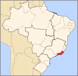
 Location of Cabo Frio in the state of Rio de Janeiro | |
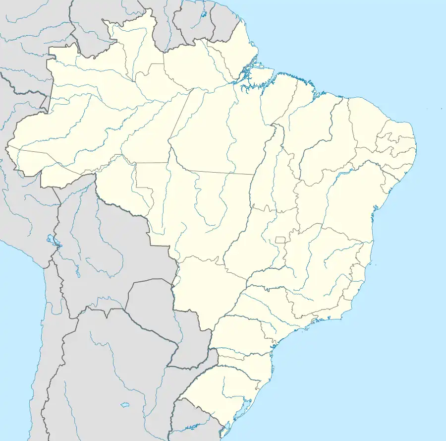 Cabo Frio Location of Cabo Frio in Brazil | |
| Coordinates: 22°52′44″S 42°01′08″W | |
| Country | |
| Region | Southeast |
| State | |
| Government | |
| • Mayor | José Bonifácio Ferreira Novellino (PDT) |
| Area | |
| • Total | 410.418 km2 (158.463 sq mi) |
| Elevation | 4 m (13 ft) |
| Population (2020 [2]) | |
| • Total | 230,378 |
| • Density | 560/km2 (1,500/sq mi) |
| Time zone | UTC−3 (BRT) |
| Website | cabofrio.rj.gov.br |
.svg.png.webp)
Cabo Frio products treemap, 2020
The Brazilian coast runs east from Rio de Janeiro to Cabo Frio where it turns sharply north. North of Cabo Frio is Cabo de São Tomé.
It was named after the geography of its location, a cape, and because the water temperature is colder than in nearby cities (frio is Portuguese for "cold"). This city features beaches with white fine sand. Due to a lack of mica, the sand stays cool in the sun.
As of 2020, Cabo Frio's estimated population is 230,378 and its area is 410 km².
Cabo Frio is served by Cabo Frio International Airport.

Geography
Climate
| Climate data for Cabo Frio, Rio de Janeiro, Brazil | |||||||||||||
|---|---|---|---|---|---|---|---|---|---|---|---|---|---|
| Month | Jan | Feb | Mar | Apr | May | Jun | Jul | Aug | Sep | Oct | Nov | Dec | Year |
| Average high °C (°F) | 28.7 (83.7) |
29.1 (84.4) |
28.8 (83.8) |
27.5 (81.5) |
26.1 (79.0) |
24.9 (76.8) |
24.7 (76.5) |
24.3 (75.7) |
24.3 (75.7) |
25.2 (77.4) |
26.5 (79.7) |
27.9 (82.2) |
26.5 (79.7) |
| Average low °C (°F) | 22.3 (72.1) |
22.7 (72.9) |
22.7 (72.9) |
21.5 (70.7) |
20.0 (68.0) |
18.8 (65.8) |
18.6 (65.5) |
18.7 (65.7) |
19.0 (66.2) |
19.7 (67.5) |
20.7 (69.3) |
21.8 (71.2) |
20.5 (69.0) |
| Average rainfall mm (inches) | 78.1 (3.07) |
44.1 (1.74) |
52.8 (2.08) |
78.3 (3.08) |
69.1 (2.72) |
43.9 (1.73) |
44.7 (1.76) |
36.1 (1.42) |
61.0 (2.40) |
80.7 (3.18) |
81.0 (3.19) |
101.1 (3.98) |
770.9 (30.35) |
| Average relative humidity (%) | 82 | 82 | 82 | 80 | 81 | 81 | 80 | 81 | 81 | 82 | 82 | 82 | 81 |
| Source: Climate-Charts.com[3] | |||||||||||||
References
- "Cabo Frio" (in Portuguese). IBGE - Instituto Brasileiro de Geografia e Estatística - Brazilian Institute of Geography and Statistics.
- IBGE 2020
- "Cabo Frio, Brazil: Climate, Global Warming, and Daylight Charts and Data". Climate-Charts.com. 2010. Retrieved January 14, 2018.
- Much of the content of this article comes from the corresponding Portuguese-language Wikipedia article (retrieved on January 2, 2006).
External links
Capital: Rio de Janeiro | |||||||||||
| Mesoregion Baixadas |
|  | |||||||||
| Mesoregion Centro Fluminense |
| ||||||||||
| Mesoregion Metropolitana do Rio de Janeiro |
| ||||||||||
| Mesoregion Noroeste Fluminense |
| ||||||||||
| Mesoregion Norte Fluminense |
| ||||||||||
| Mesoregion Sul Fluminense |
| ||||||||||
This article is issued from Wikipedia. The text is licensed under Creative Commons - Attribution - Sharealike. Additional terms may apply for the media files.