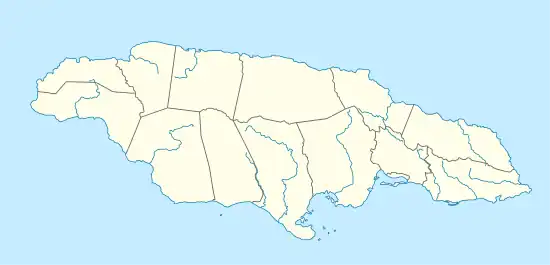
Cane River (Jamaica)
The Cane River rises at twin sources in the vicinity of Derby Peak in eastern Saint Andrew Parish, Jamaica from where it flows south to the Caribbean Sea.[1]
| Cane River | |
|---|---|
| Location | |
| Country | Jamaica |
| Physical characteristics | |
| Source | |
| • coordinates | 18.015039°N 76.692746°W[1] |
| • elevation | 3,500 ft (1,100 m)[1] |
| 2nd source | |
| • coordinates | 18.0213439°N 76.7057276°W[1] |
| • elevation | 2,700 ft (820 m)[1] |
| Mouth | |
• coordinates | 17.943574°N 76.697134°W[1] |
• elevation | Sea level[1] |

Source of Cane River
See also
References
- UK Directorate of Overseas Surveys 1:50,000 map of Jamaica sheet L, 1967.
- GEOnet Names Server Archived 2020-04-10 at the Wayback Machine
- Ford, Jos C. and Finlay, A.A.C. (1908).The Handbook of Jamaica. Jamaica Government Printing Office
External links
This article is issued from Wikipedia. The text is licensed under Creative Commons - Attribution - Sharealike. Additional terms may apply for the media files.