Carballeda de Avia
Carballeda de Avia is a municipality in the Province of Ourense in the Galicia region of north-west Spain. It is located to the west of the province, 5.7 kilometres (3.5 mi) northwest of Ribadavia off the A-52 road.[3] As of 2012 it had a population of 1487 people. It is a wine-producing area with about 3000 hectares dedicated to vineyards, some of which are at an altitude of 479 metres (1,572 ft).[4][5] River valleys in the municipality include the Miño, Avia, Arnoia and Barbantiño.
Carballeda de Avia | |
|---|---|
municipality | |
 Seal | |
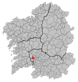 Location in Galicia | |
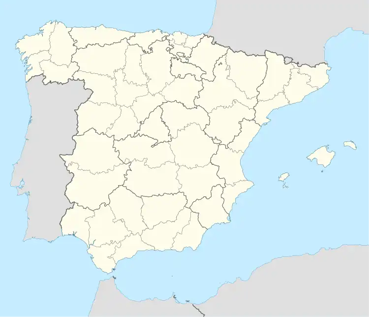 Carballeda de Avia Location in Spain | |
| Coordinates: 42°19′17″N 8°9′55″W | |
| Country | |
| Autonomous community | |
| Province | |
| Comarca | O Ribeiro |
| Government | |
| • Mayor | Luis Milia Méndez (Spanish Socialist Workers' Party) |
| Area | |
| • Total | 47 km2 (18 sq mi) |
| Elevation | 249 m (817 ft) |
| Population (2018)[2] | |
| • Total | 1,317 |
| • Density | 28/km2 (73/sq mi) |
| Time zone | UTC+1 (CET) |
| • Summer (DST) | UTC+2 (CEST) |
| INE municipality code | 32018 |
| Website | www |
Parishes
- Abelenda das Penas (Santo André)
- Balde (San Martiño)
- Beiro (San Pedro)
- Carballeda (San Miguel)
- Faramontaos (San Cosmede)
- Muimenta (San Xiao)
- Santo Estevo de Nóvoa (Santo Estevo)
- Vilar de Condes (Santa María)
References
- "IGE. Táboas". www.ige.eu (in Galician). Retrieved 2017-10-07.
- Municipal Register of Spain 2018. National Statistics Institute.
- Google (3 October 2013). "Carballeda de Avia" (Map). Google Maps. Google. Retrieved 3 October 2013.
- Guía definitiva de los 10.000 espacios naturales de España (in Spanish). Mundi-Prensa Libros. 2004. p. 400. ISBN 978-84-8476-217-1.
- Guia Peñin de Los Vinos de España 2009 (in Spanish). Grupo Penin (COR). 1 May 2009. p. 750. ISBN 978-84-95203-52-6.
External links
This article is issued from Wikipedia. The text is licensed under Creative Commons - Attribution - Sharealike. Additional terms may apply for the media files.