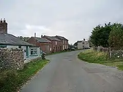
Cardurnock
Cardurnock is a small settlement in Cumbria, England. It is by the coast, 20 kilometres (12 mi) west of Carlisle. The western extension of the Hadrian's Wall frontier defences once passed through the Cardurnock peninsula, though not the Wall itself.[1] The sites of two small Roman fortlets, Milefortlet 4 and Milefortlet 5, have been located to the north and south of Cardurnock.[2][3] It is adjacent to the Anthorn Radio Station.
Location
The Building or site itself may lie within the Boundary of more than one Authority.[4]
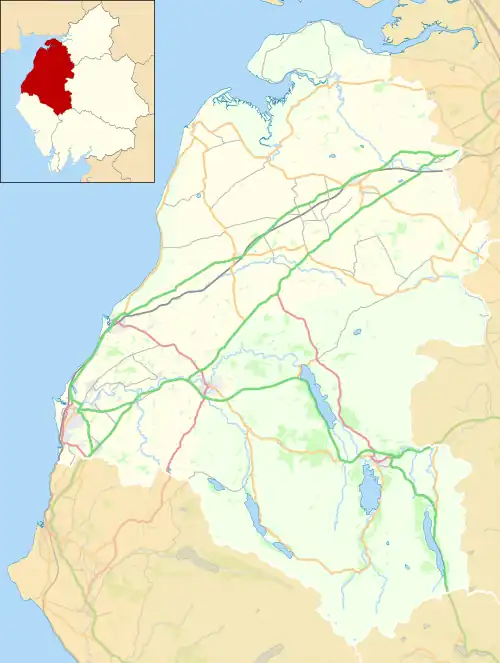
| County | Cumbria |
| District | Allerdale (District Authority) |
| Parish | Bowness |
| National Grid Reference | NY 17114 58829 |
References
- Jones, G. D. B. (1976). "The Western Extension of Hadrian's Wall: Bowness to Cardurnock". Britannia. 7: 236–243. doi:10.2307/525775. JSTOR 525775.
- MILEFORTLET 4 Archived 2 December 2013 at the Wayback Machine, Pastscape, retrieved 26 November 2013
- MILEFORTLET 5 Archived 3 December 2013 at the Wayback Machine, Pastscape, retrieved 26 November 2013
- "Cardurnock (tower 4b) and earlier ditch system and patrol road, part of the Roman frontier defences along the Cumbrian coast, Bowness - 1016074 | Historic England". historicengland.org.uk. Retrieved 16 May 2021.
This article is issued from Wikipedia. The text is licensed under Creative Commons - Attribution - Sharealike. Additional terms may apply for the media files.