Carlatton and Cumrew
Carlatton and Cumrew are civil parishes in Cumbria, England with a common parish council.[3]
Carlatton and Cumrew | |
|---|---|
Civil parish | |
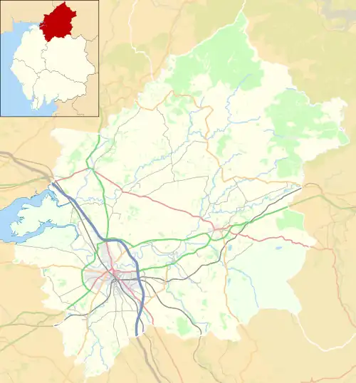
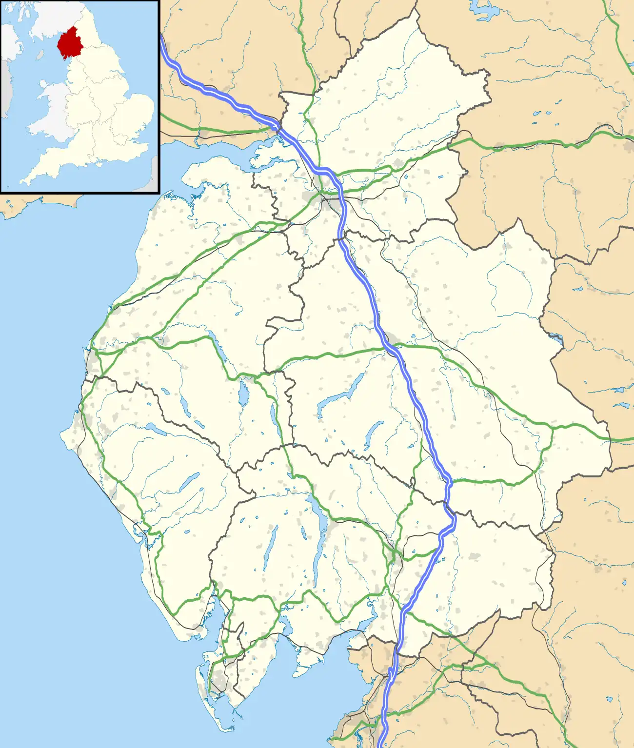
 Carlatton and Cumrew Location in the City of Carlisle district, Cumbria  Carlatton and Cumrew Location in Cumbria, England | |
| Coordinates: 54.858°N 2.710°W | |
| Country | England |
| Primary council | City of Carlisle |
| County | Cumbria |
| Region | North West England |
| Status | Civil Parishes |
| Government | |
| • UK Parliament | Penrith and The Border |
| Population | |
| • Total | 120 |
The Eastern boundary of this rural parish is Cardunneth Pike in Cumrew Fell close to Turnberry House. To the West Carlatton Mill sits on the boundary between Cumrew Parish and Cumwhitton Parish. To the North Brackenthwate Farm sits just inside the parish. The southern boundary is the northern edge of Newbiggin Village.[4]
References
- This is the combined population of Carlatton, Cumrew and Geltsdale.
- "PARISH POPULATION CHANGE 1991 - 2001" (PDF). Carlisle Information & Communications. Archived from the original (PDF) on 27 September 2007. Retrieved 10 July 2007.
- "Carlatton and Cumrew Parish Council".
- "Carlatton and Cumrew Parish Council". Carlatton and Cumrew Parish Council. Retrieved 28 July 2021.
External links
- Cumbria County History Trust: Carlatton (nb: provisional research only - see Talk page)
This article is issued from Wikipedia. The text is licensed under Creative Commons - Attribution - Sharealike. Additional terms may apply for the media files.