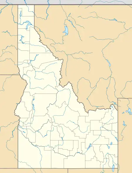
Cartier Slough Wildlife Management Area
Cartier Slough Wildlife Management Area at 961 acres (3.89 km2) is an Idaho wildlife management area in Madison County west of Rexburg.[1] The Army Corps of Engineers and Bureau of Reclamation acquired land for the WMA in 1976 and 1977 as mitigation for the Teton and Ririe dams.[2]
| Cartier Slough Wildlife Management Area | |
|---|---|
IUCN category IV (habitat/species management area) | |
 | |
| Location | Madison County, Idaho, United States |
| Nearest city | Rexburg, ID |
| Coordinates | 43.815377°N 111.913122°W |
| Area | 961 acres (3.9 km2) |
| Established | 1976 |
| Governing body | Idaho Department of Fish and Game |
The WMA is located along the Henry Fork of the Snake River and provides habitat for waterfowl and over 200 wildlife species.[3] Large game that can be seen in the WMA include moose, elk, and mule and white-tailed deer.[4]
References
- "Cartier Slough Wildlife Management Area" (PDF). Idaho Department of Fish and Game. Archived from the original (PDF) on March 20, 2013. Retrieved May 31, 2012.
- Wackenhut, Martha; Ragotzkie, Kim (July 1999). "Cartier Slough Wildlife Management Area Management Plan" (PDF). Idaho Department of Fish and Game. Archived from the original (PDF) on May 2, 2012. Retrieved May 31, 2012.
- "Cartier Slough Wildlife Management Area, Idaho". Public Lands Information Center. Archived from the original on July 30, 2013. Retrieved May 31, 2012.
- "Wildlife Management Areas". Idaho Department of Fish and Game. Archived from the original on March 2, 2013. Retrieved May 31, 2012.
This article is issued from Wikipedia. The text is licensed under Creative Commons - Attribution - Sharealike. Additional terms may apply for the media files.