Castle Dome (butte)
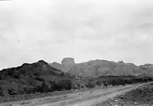
Castle Dome, or Castle Dome Peak is a prominent butte and high point of the Castle Dome Mountains northeast of Yuma, Arizona, in the northwestern Sonoran Desert.
| Castle Dome | |
|---|---|
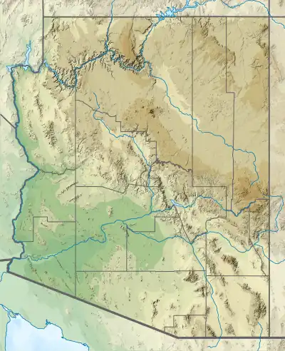 Castle Dome Location of Castle Dome in Arizona | |
| Highest point | |
| Elevation | 3,791 ft (1,155 m) NAVD 88[1] |
| Prominence | 2,088 ft (636 m)[1] |
| Coordinates | 33°05′04″N 114°08′36″W[2] |
| Geography | |
| Location | Yuma, Arizona |
| Topo map | USGS Castle Dome Peak |
The butte lies approximately 22 miles (35 km) east of the historical Castle Dome Landing on the Colorado River (site submerged by the Imperial Reservoir). It is located above and east of US Route 95 and the Castle Dome mining district. Castle Dome is noteworthy for its recreational use for day hiking. It is also often coated in winter or spring snowstorms as a white landform, with its loss of white being determined by season and duration of storm temperatures. Castle Dome's height is 3,791 feet (1,155 m).[1]
Mining and minerals
Some noteworthy minerals from the Castle Dome Mountains region are vanadinite, wulfenite, baryte, and fluorite.[3]

Trails and unimproved road trails
Some of the local trails are: King Valley Road, McPherson Pass Trail, Big Eye Wash Trail, Castle Dome Mountains, and Kofa Queen Canyon Trail.
References
- "Castle Dome Peak, Arizona". Peakbagger.com. Retrieved 2021-11-13.
- "Castle Dome Peak". Geographic Names Information System. United States Geological Survey, United States Department of the Interior. Retrieved 2021-11-13.
- Castle Dome District, Castle Dome Mts, Yuma Co., Arizona, USA, Mindat.org