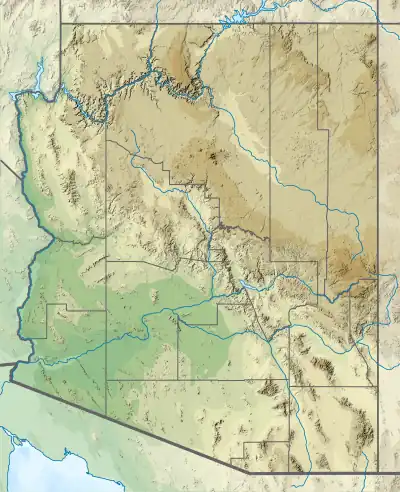
Mount Wilson (Arizona)
Mount Wilson is a mountain in Mohave County, Arizona, U.S. At 5,456 feet (1,663 m), it is the second highest point of the Black Mountains after Mount Perkins.[3]
| Mount Wilson | |
|---|---|
 Mount Wilson in December 2006 | |
| Highest point | |
| Elevation | 5,446 ft (1,660 m) NAVD 88[1] |
| Prominence | 3,205 ft (977 m)[2] |
| Coordinates | 35°59′48″N 114°36′43″W[1] |
| Geography | |
 Mount Wilson | |
| Location | Mohave County, Arizona, U.S. |
| Parent range | Black Mountains |
| Topo map | USGS Mount Wilson |
Mount Wilson Wilderness is a 23,900-acre protected wilderness area centered around the mountain, established in 1990 under the Arizona Desert Wilderness Act and managed by the Bureau of Land Management. This desert wilderness includes eight miles of the Wilson Ridge and is surrounded by the Lake Mead National Recreation Area.[4]
References
- "Mount Wilson". NGS Data Sheet. National Geodetic Survey, National Oceanic and Atmospheric Administration, United States Department of Commerce. Retrieved 2016-08-21.
- "Mount Wilson, Arizona". Peakbagger.com. Retrieved 2015-01-01.
- "Black Mountains". Peakbagger.com. Retrieved 2016-08-21.
- Mount Wilson Wilderness - BLM
External links
- Mount Wilson Wilderness – Wilderness Connect
- "Mount Wilson". Geographic Names Information System. United States Geological Survey, United States Department of the Interior.
- "Mount Wilson". SummitPost.org.
 Media related to Mount Wilson at Wikimedia Commons
This article is issued from Wikipedia. The text is licensed under Creative Commons - Attribution - Sharealike. Additional terms may apply for the media files.