Charoun, Munger district
Charoun is a village of Munger district in the Indian state of Bihar. It is situated 7 km from Munger city center. Charoun is a part of the Munger-Jamalpur twin cities.
Charoun | |
|---|---|
village | |
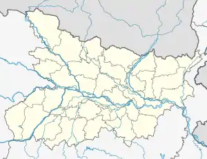 Charoun Location in Bihar, India | |
| Coordinates: 25°13′N 86°19′E | |
| Country | |
| State | Bihar |
| District | Munger |
| Area | 10 km2 (4 sq mi) |
| Dimensions | |
| • Length | 2 km (1 mi) |
| • Width | 1.1 km (0.7 mi) |
| Literacy | |
| • Total | 79.46% |
| • Male | 84.79% |
| • Female | 73.42% |
| Time zone | UTC+5:30 (IST) |
| PIN | |
| Sex ratio | 898 females per 1000 males ♂/♀ |
Geography
Charoun is located at 25.354°N 84.45475°E at an average elevation of 125 metres (410 ft).
The city is in the Munger district. The city of Munger is 8 kilometres (5.0 mi) east of munger. Charoun is an overnight rail or road journey from Kolkata.
The nearest airport is Lok Nayak Jayaprakash Airport in Patna, 204 kilometres (127 mi) away. The nearest international airport is Netaji Subhas Chandra Bose International Airport in Kolkata, 454 kilometres (282 mi) from Charoun on NH80.
Demographics
As of the 2011 census Charoun has a population of 2,254, with a ratio of 871 females for every 1,000 males. The average literacy rate is 87.38%; for men it is 92.58%, and for women it is 81.40%. There are 398 children in charoun aged 0 to 5, with a ratio of 867 girls for every 1,000 boys. [1]
References
- "Pin Code of nawagarhi Munger". citypincode.in. Retrieved 5 October 2014.