Chelsea Heights, Victoria
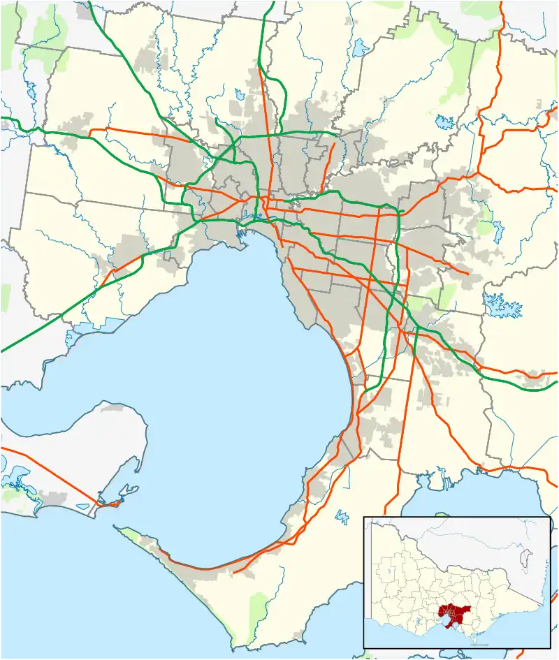
Chelsea Heights is a suburb in Melbourne, Victoria, Australia, 30 km south-east of Melbourne's Central Business District, located within the City of Kingston local government area. Chelsea Heights recorded a population of 5,393 at the 2021 census.[1]
| Chelsea Heights Melbourne, Victoria | |||||||||||||||
|---|---|---|---|---|---|---|---|---|---|---|---|---|---|---|---|
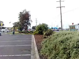 Wells Road – Springvale Road intersection view from the Chelsea Heights fast food outlets car park | |||||||||||||||
 Chelsea Heights | |||||||||||||||
| Coordinates | 38.047°S 145.137°E | ||||||||||||||
| Population | 5,393 (2021 census)[1] | ||||||||||||||
| • Density | 1,685/km2 (4,360/sq mi) | ||||||||||||||
| Postcode(s) | 3196 | ||||||||||||||
| Area | 3.2 km2 (1.2 sq mi) | ||||||||||||||
| Location | 32 km (20 mi) from Melbourne | ||||||||||||||
| LGA(s) | City of Kingston | ||||||||||||||
| State electorate(s) | Mordialloc | ||||||||||||||
| Federal division(s) | Isaacs | ||||||||||||||
| |||||||||||||||
The suburb is home to Chelsea Heights Primary School, The Chelsea Heights Cricket & Football Club and the Bonbeach Blue Jays Baseball Club.
On the border of Chelsea Heights and Chelsea is the Bayside Trail bicycle track, which begins in Seaford and continues north for approximately 43 km to Port Melbourne.
History
Prior to the 1870s, Chelsea Heights was known as the Isles of Wannarkladdin, being the only high land of the Carrum Carrum Swamp.[2]
Popular reference
The aerial photography at the beginning of the Network 7 show Kath & Kim shows the central portion of Chelsea Heights.
See also
- City of Springvale – Chelsea Heights was previously within this former local government area.
References
- Australian Bureau of Statistics (28 June 2022). "Chelsea Heights (Suburbs and Localities)". 2021 Census QuickStats. Retrieved 15 July 2022.
- Carrum Carrum Swamp: Swamped with History Archived 25 April 2013 at the Wayback Machine