Chevery Airport
Chevery Airport (IATA: YHR, ICAO: CYHR) is located on the north-eastern shore of the Gulf of Saint Lawrence, Quebec, Canada in the municipality of Côte-Nord-du-Golfe-du-Saint-Laurent. It is uncontrolled but has an automated weather observation system (AWOS).
Chevery Airport | |||||||||||
|---|---|---|---|---|---|---|---|---|---|---|---|
| Summary | |||||||||||
| Airport type | Public | ||||||||||
| Operator | Municipalité de Côte-Nord-du-Golfe-du-Saint-Laurent | ||||||||||
| Location | Côte-Nord-du-Golfe-du-Saint-Laurent | ||||||||||
| Time zone | AST (UTC−04:00) | ||||||||||
| Elevation AMSL | 39 ft / 12 m | ||||||||||
| Coordinates | 50°28′08″N 059°38′12″W | ||||||||||
| Map | |||||||||||
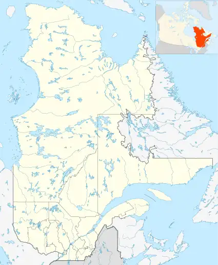 CYHR Location in Quebec | |||||||||||
| Runways | |||||||||||
| |||||||||||
| Statistics (2010) | |||||||||||
| |||||||||||
Airlines and destinations
| Airlines | Destinations |
|---|---|
| Air Liaison | Baie-Comeau, Blanc-Sablon, La Romaine, La Tabatière, Montreal–Trudeau, Natashquan, Québec City, Saint-Augustin, Sept-Îles, Tête-à-la-Baleine[4] |
References
- Canada Flight Supplement. Effective 0901Z 16 July 2020 to 0901Z 10 September 2020.
- Synoptic/Metstat Station Information Archived December 1, 2011, at the Wayback Machine
- Total aircraft movements by class of operation
- Air Liaison Website
External links
- Page about this airport on COPA's Places to Fly airport directory
- Transport Canada - Information on Chevery Airport
| Administrative units |
| ||||
|---|---|---|---|---|---|
| Protected areas | |||||
| Major river basins | |||||
| Significant lakes | |||||
| Airports | |||||
| Roads | |||||
| |||||
| By name | |
|---|---|
| By location indicator | |
| By province/territory | |
| By area | |
| National Airports System | |
| Related | |
| |
This article is issued from Wikipedia. The text is licensed under Creative Commons - Attribution - Sharealike. Additional terms may apply for the media files.