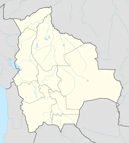
Chimoré, Cochabamba
Chimoré is a location in the Carrasco Province, Cochabamba Department, Bolivia. It is the seat of the Chimoré Municipality.
Chimoré | |
|---|---|
 Chimoré Location in Bolivia | |
| Coordinates: 16°59′S 65°08′W | |
| Country | |
| Department | Cochabamba Department |
| Province | Carrasco Province |
| Municipality | Chimoré Municipality |
| Canton | Chimoré Canton |
| Population (2001) | |
| • Total | 3,874 |
| Time zone | UTC-4 (BOT) |
Geography
Chimoré is located in the wettest region of the Bolivia, situated in the Amazon rainforests of the Chapare region. While Chimoré experiences a short dry season, rain is plentiful year round, and temperatures are generally warm to hot. The area has a tropical rainforest climate according to the Köppen Classification System.
| Climate data for Chimoré | |||||||||||||
|---|---|---|---|---|---|---|---|---|---|---|---|---|---|
| Month | Jan | Feb | Mar | Apr | May | Jun | Jul | Aug | Sep | Oct | Nov | Dec | Year |
| Record high °C (°F) | 38.1 (100.6) |
37.8 (100.0) |
39.3 (102.7) |
38.0 (100.4) |
34.0 (93.2) |
32.2 (90.0) |
32.0 (89.6) |
35.0 (95.0) |
36.4 (97.5) |
38.4 (101.1) |
40.3 (104.5) |
38.4 (101.1) |
40.3 (104.5) |
| Average high °C (°F) | 30.2 (86.4) |
30.5 (86.9) |
29.5 (85.1) |
27.7 (81.9) |
24.9 (76.8) |
23.1 (73.6) |
23.9 (75.0) |
27.7 (81.9) |
29.4 (84.9) |
29.8 (85.6) |
30.7 (87.3) |
31.4 (88.5) |
28.2 (82.8) |
| Daily mean °C (°F) | 26.8 (80.2) |
26.6 (79.9) |
26.2 (79.2) |
24.7 (76.5) |
22.8 (73.0) |
20.4 (68.7) |
21.1 (70.0) |
23.0 (73.4) |
25.2 (77.4) |
26.4 (79.5) |
27.1 (80.8) |
27.0 (80.6) |
24.8 (76.6) |
| Average low °C (°F) | 21.3 (70.3) |
21.3 (70.3) |
20.5 (68.9) |
18.9 (66.0) |
16.5 (61.7) |
15.4 (59.7) |
14.8 (58.6) |
16.3 (61.3) |
18.7 (65.7) |
19.8 (67.6) |
20.3 (68.5) |
20.9 (69.6) |
18.7 (65.7) |
| Record low °C (°F) | 20.4 (68.7) |
19.0 (66.2) |
19.0 (66.2) |
17.5 (63.5) |
15.0 (59.0) |
11.0 (51.8) |
10.0 (50.0) |
14.4 (57.9) |
16.7 (62.1) |
18.0 (64.4) |
18.3 (64.9) |
19.0 (66.2) |
10.0 (50.0) |
| Average precipitation mm (inches) | 737.1 (29.02) |
764.4 (30.09) |
621.6 (24.47) |
337.9 (13.30) |
168.4 (6.63) |
102.7 (4.04) |
87.3 (3.44) |
67.5 (2.66) |
115.5 (4.55) |
220.2 (8.67) |
358.8 (14.13) |
604.0 (23.78) |
4,185.4 (164.78) |
| Average precipitation days (≥ 1.0 mm) | 14.0 | 11.1 | 12.7 | 9.4 | 11.4 | 5.4 | 4.0 | 5.6 | 7.6 | 9.4 | 10.1 | 11.9 | 111.6 |
| Average relative humidity (%) | 79 | 79 | 79 | 78 | 79 | 78 | 73 | 65 | 64 | 67 | 72 | 77 | 74 |
| Source: SENAMHI[1] | |||||||||||||
Transports
The city is served by the Chimore Airport (IATA: CCA, ICAO: SLHI).
References
- "SISMET SENAMHI" (in Spanish). SENAMHI. Retrieved 15 October 2021.
This article is issued from Wikipedia. The text is licensed under Creative Commons - Attribution - Sharealike. Additional terms may apply for the media files.
