Chitrakoot Colony
Chitrakoot is a neighbourhood in West Jaipur. Chitrakoot is divided into 12 sectors, out of which 10 are residential and 2 are for commercial and social purposes.
Chitrakoot Colony
Chitrakoot | |
|---|---|
Colony | |
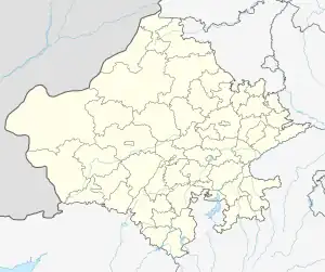
 Chitrakoot Colony Location in Rajasthan, India  Chitrakoot Colony Chitrakoot Colony (India) | |
| Coordinates: 26.90°N 75.73°E | |
| Country | |
| State | Rajasthan |
| District | Jaipur |
| Languages | |
| • Official | Hindi |
| Time zone | UTC+5:30 (IST) |
| PIN | 302021 |
| Telephone code | 0141 |
| Lok Sabha constituency | Jaipur |
Major Places
Education
- Jayshree Periwal High School
- Bhabha Public School
- Blue Star Public School
- Chitrakoot Academy
Worship
Health
- Shalby Hospital
- Global Heart General Hospital
Sports
- Shree Pratap Yadav Stadium
- Spac3
Location
Chitakoot is situated on Ajmer Road. Chitrakoot is bordered by Vaishali Nagar on the North, Vidyut Nagar to the East and Pratap Nagar to the West. It is 15 km from Sanganer Airport. 200 feet Bypass is adjoining it.
This article is issued from Wikipedia. The text is licensed under Creative Commons - Attribution - Sharealike. Additional terms may apply for the media files.