Chiuni
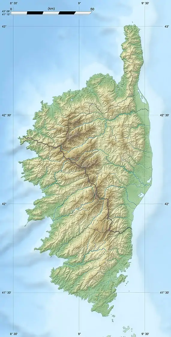
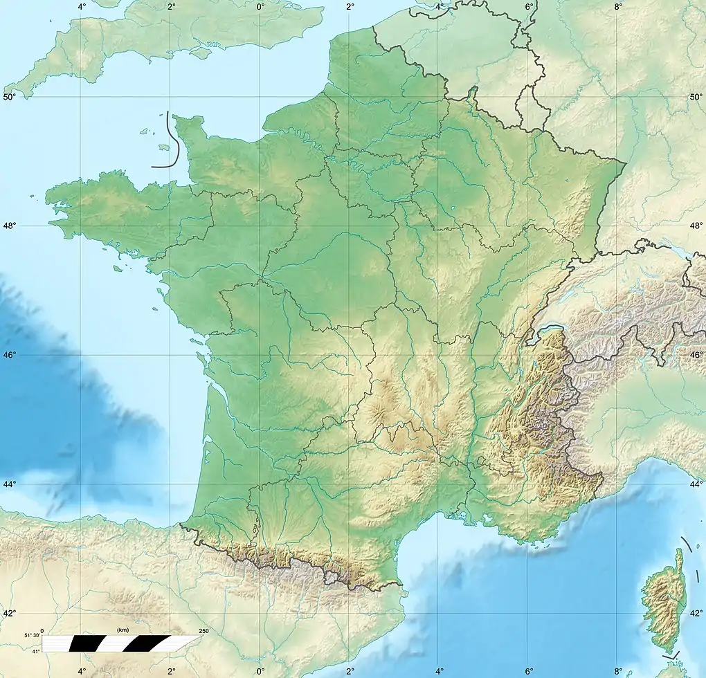
The Chiuni (French: Rivière Chiuni) is a coastal river in the west of the department of Corse-du-Sud, Corsica, France.
| Chiuni | |
|---|---|
 Anse de Chiuni (bay) | |
  | |
| Native name | Rivière Chiuni (French) |
| Location | |
| Country | France |
| Region | Corsica |
| Department | Corse-du-Sud |
| Physical characteristics | |
| Mouth | Mediterranean Sea |
• coordinates | 42.1713°N 8.5871°E |
| Length | 16.06 kilometres (9.98 mi) |
Course
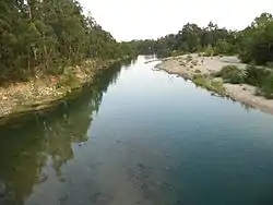
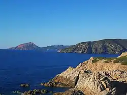
The Chiuni is 16.06 kilometres (9.98 mi) long. It crosses the communes of Cargèse, Marignana and Piana.[1] The Chiuni rises in the commune of Marignana to the west of the 1,226 metres (4,022 ft) Capu a é Macenule.[2] The source is at an altitude of 1,123 metres (3,684 ft).[3] It flows in a generally east-southeast direction to enter the sea in the Golfe de Chiuni. There is a beach, the Plage de Chiuni, at the mouth of the river.[2] From the beach there is a view of Capu d'Orchinu and its Genoese tower, the Torra d'Orchinu.[4]
Tributaries
The following streams (ruisseaux) are tributaries of the Chiuni (ordered by length) and sub-tributaries:[1]
- Fornellu: 7 km (4.3 mi)
- Forcu a e Teghie: 7 km (4.3 mi)
- Ruscia: 3 km (1.9 mi)
- Malo: 3 km (1.9 mi)
- Ruscia: 3 km (1.9 mi)
- Chesaccia: 4 km (2.5 mi)
- Aculone: 2 km (1.2 mi)
- Pascianu: 1 km (0.62 mi)
- Persicu: 3 km (1.9 mi)
- Truscielli: 2 km (1.2 mi)
- Milari: 3 km (1.9 mi)
- Ambione: 2 km (1.2 mi)
- Cario: 2 km (1.2 mi)
- Finucchiaghia: 2 km (1.2 mi)
Notes
Sources
- "Plage de Chiuni", iflyer.corsica (in French), August Marine, retrieved 2022-01-07
- "Relation: Rivière Chiuni (8832465)", OpenStreetMap, retrieved 2022-01-07
- "Rivière Chiuni", Annuaire Mairie (in French), retrieved 2022-01-07
- "Rivière Chiuni", Sandre (in French), retrieved 2022-01-07
| Waterbodies |
| ||||||||||
|---|---|---|---|---|---|---|---|---|---|---|---|
| Rivers and streams |
| ||||||||||
| |||||||||||