Chocianów
Chocianów [xɔˈt͡ɕanuf] (German: Kotzenau) is a town in Polkowice County, Lower Silesian Voivodeship, in south-western Poland. It is the seat of the administrative district (gmina) called Gmina Chocianów. The town lies approximately 14 kilometres (9 mi) south-west of Polkowice, and 85 kilometres (53 mi) west of the regional capital Wrocław. As of December 2021, it has a population of 7,869.[1]
Chocianów | |
|---|---|
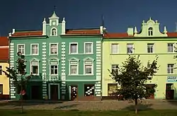 Historic townhouses at the Market Square | |
 Flag  Coat of arms | |
 Chocianów 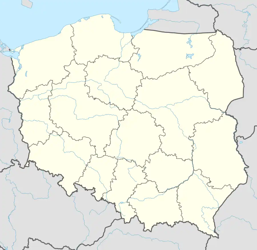 Chocianów | |
| Coordinates: 51°25′N 15°55′E | |
| Country | |
| Voivodeship | |
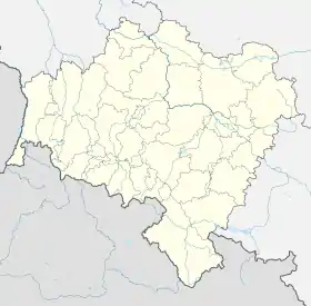
| County | Polkowice |
| Gmina | Chocianów |
| Established | 13th century |
| Town rights | 1894 |
| Government | |
| • Mayor | Tomasz Kulczyński |
| Area | |
| • Total | 7.31 km2 (2.82 sq mi) |
| Population (31 December 2021[1]) | |
| • Total | 7,689 |
| • Density | 1,100/km2 (2,700/sq mi) |
| Time zone | UTC+1 (CET) |
| • Summer (DST) | UTC+2 (CEST) |
| Postal code | 59-140 |
| Area code | +48 76 |
| Car plates | DPL |
| Climate | Dfb |
| Website | http://www.chocianow.pl |
History
The area, along with Lower Silesia, was part of Poland since the establishment of the state in the 10th century. As a result of the fragmentation of Poland, by the end of the 13th century the area was part of the Polish Duchy of Świdnica, ruled by a local branch of the Piast dynasty. The settlement developed from a castle called Chodzenow built in 1297 by Duke Bolko I the Strict of Świdnica, who had to secure his lands against the claims of Wenceslaus II of Bohemia.
From 1742 Chocianów was part of Prussia and from 1871 to 1945 it was part of Germany, known by its Germanized name of Kotzenau. It received its town privileges in 1894. The town had a population of 4,301 in 1939, but with war deaths and the expulsion of most Germans after the war the population was down to 1,707 in 1946.[2] After Nazi Germany's defeat in World War II the town became again part of Poland.
Demographics
Detailed data as of 31 December 2021:[1]
| Description | All | Women | Men | |||
|---|---|---|---|---|---|---|
| Unit | person | percentage | person | percentage | person | percentage |
| Population | 7689 | 100 | 3954 | 51.4% | 3735 | 48.6% |
| Population density | 1051.8 | 540.9 | 511.9 | |||
Number of inhabitants by year
| Year | Population | Source |
|---|---|---|
| 1995 | 8332 |
[1] |
| 2000 | 8354 | |
| 2005 | 8227 | |
| 2010 | 8310 | |
| 2015 | 8073 | |
| 2020 | 7773 | |
| 2021 | 7689 |
Gallery
_ID_596609.jpg.webp) Saint Joseph church
Saint Joseph church.jpg.webp) Town hall
Town hall Palace Park
_ID_596612.jpg.webp) Palace ruins
Palace ruins
References
- "Local Data Bank". Statistics Poland. Retrieved 2022-06-03. Data for territorial unit 0216014.
- Columbia-Lippincott Gazetteer. (New York: Columbia University Press, 1952) p. 403
| Town and seat | | |
|---|---|---|
| Villages | ||