Cimarron, Colorado
Cimarron is an unincorporated rural hamlet in Montrose County, Colorado, United States. It is located on the northern side of U.S. Highway 50, 19 miles from the town of Montrose to its west, and 42 miles from Gunnison, Colorado to its east. There is a store with fuel pumps and a post office at Cimarron. The post office services the rural ZIP Code 81220 area.[2]
Cimarron, Colorado | |
|---|---|
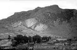 In 1883 | |
 Cimarron  Cimarron | |
| Coordinates: 38°26′30″N 107°33′22″W | |
| Country | |
| State | |
| County | Montrose County |
| Elevation | 2,102 m (6,896 ft) |
| Time zone | UTC-7 (MST) |
| • Summer (DST) | UTC-6 (MDT) |
| ZIP Code | 81220[2] |
Cimarron is located along the Cimarron River, just south of the Black Canyon of the Gunnison, and just outside Curecanti National Recreation Area. The D & RG Narrow Gauge Trestle crosses the Cimarron River gorge just northeast of town, and is on the National Register of Historic Places (#76000172).
Geography
Cimarron is located at 38°26′30″N 107°33′22″W (38.441758,-107.555981).

Round-up in a ranch just south of the town, 1898.
See also
References
- "US Board on Geographic Names". United States Geological Survey. October 25, 2007. Retrieved January 31, 2008.
- "ZIP Code Lookup". United States Postal Service. December 15, 2006. Archived from the original (JavaScript/HTML) on September 3, 2007. Retrieved December 15, 2006.
Municipalities and communities of Montrose County, Colorado, United States | ||
|---|---|---|
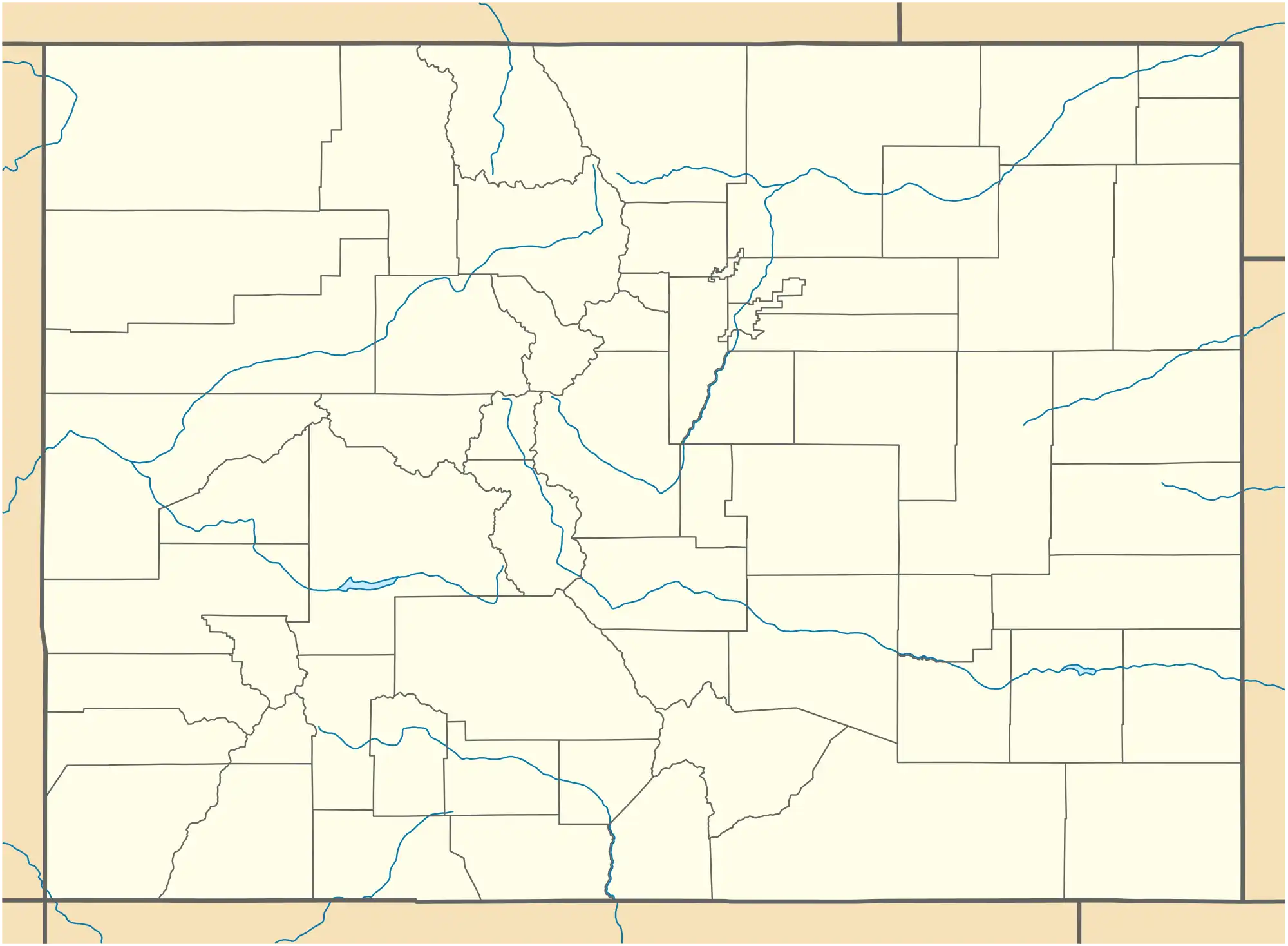
| City |  Map of Colorado highlighting Montrose County | |
| Towns | ||
| CDP | ||
| Unincorporated communities | ||
| Ghost town | ||
This article is issued from Wikipedia. The text is licensed under Creative Commons - Attribution - Sharealike. Additional terms may apply for the media files.