Colac Colac, Victoria
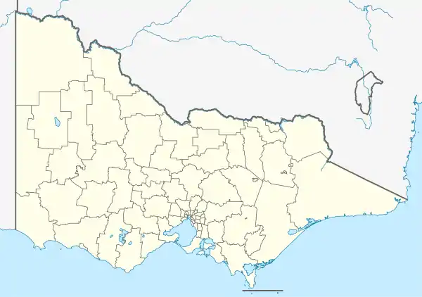
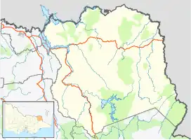
Colac Colac is a locality in the Hume region of the Australian state of Victoria. It is adjacent to the Murray Valley Highway, 8 kilometres (5.0 mi) southwest of Corryong.
| Colac Colac Victoria | |||||||||||||||
|---|---|---|---|---|---|---|---|---|---|---|---|---|---|---|---|
 Colac Colac | |||||||||||||||
| Coordinates | 36.2156°S 147.8519°E | ||||||||||||||
| Population | 61 (SAL 2021)[1] | ||||||||||||||
| Location | 8 km (5 mi) southwest of Corryong | ||||||||||||||
| LGA(s) | Shire of Towong | ||||||||||||||
| State electorate(s) | Benambra | ||||||||||||||
| Federal division(s) | Indi | ||||||||||||||
| |||||||||||||||
There is a half-sealed cycling and walking trail from the Colac Colac Caravan Park in to the town of Corryong.[2]
References
- Australian Bureau of Statistics (28 June 2022). "Colac Colac (Suburb and Locality)". Australian Census 2021 QuickStats. Retrieved 28 June 2022.
- "Colac Colac". Upper Murray. Towong Shire Council. 2019. Retrieved 24 August 2022.
This article is issued from Wikipedia. The text is licensed under Creative Commons - Attribution - Sharealike. Additional terms may apply for the media files.
