Colchester (CDP), Connecticut
Colchester is a census-designated place (CDP) comprising the primary village and adjacent residential land in the town of Colchester, New London County, Connecticut, United States. It is in the east-central part of the town, with the Connecticut Route 2 expressway running through the south side of the community. As of the 2010 census, the CDP had a population of 4,781,[3] out of 16,068 in the entire town of Colchester.
Colchester, Connecticut | |
|---|---|
 Main Street | |
 Colchester  Colchester | |
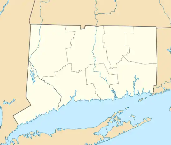
| Coordinates: 41°34′34″N 72°19′57″W | |
| Country | |
| State | Connecticut |
| County | New London |
| Town | Colchester |
| Area | |
| • Total | 11.58 km2 (4.47 sq mi) |
| • Land | 11.58 km2 (4.47 sq mi) |
| • Water | 0.0 km2 (0.0 sq mi) |
| Elevation | 141 m (463 ft) |
| Population | |
| • Total | 4,781 |
| • Density | 413.0/km2 (1,070/sq mi) |
| Time zone | UTC-5 (Eastern (EST)) |
| • Summer (DST) | UTC-4 (EDT) |
| ZIP Code | 06415 |
| Area code(s) | 860/959 |
| FIPS code | 09-15840 |
| GNIS feature ID | 2378348[2] |
75 acres (30 ha) at the center of the village comprise the Colchester Village Historic District, listed on the National Register of Historic Places in 1994.
References
- "2020 U.S. Gazetteer Files – Connecticut". United States Census Bureau. Retrieved April 15, 2021.
- "Colchester Census Designated Place". Geographic Names Information System. United States Geological Survey, United States Department of the Interior.
- "Total Population: 2010 Census DEC Summary File 1 (P1), Colchester CDP, Connecticut". data.census.gov. U.S. Census Bureau. Retrieved April 15, 2021.
Municipalities and communities of New London County, Connecticut, United States | ||
|---|---|---|
| Cities |  | |
| Towns | ||
| Boroughs | ||
| CDPs | ||
| Other communities | ||
| Indian reservations | ||
| Footnotes | ‡This populated place also has portions in an adjacent county or counties | |
This article is issued from Wikipedia. The text is licensed under Creative Commons - Attribution - Sharealike. Additional terms may apply for the media files.