Compass Island
Compass Island is a small rocky island 15 metres (50 ft) high, lying in Marguerite Bay 13 kilometres (7 nmi) northwest of the Terra Firma Islands. It was first seen and photographed from the air on 1 February 1937 by the British Graham Land Expedition. It was first visited by the Falkland Islands Dependencies Survey in 1948, surveyed by them in 1949, and so named by them because of difficulties experienced here with compass bearings, eventually proved to be due to substitution of iron for copper wire in an anorak hood.[1]
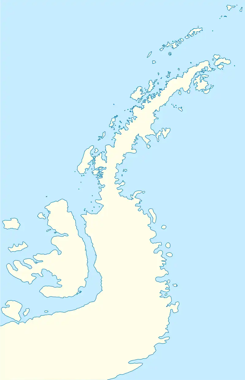 Compass Island Location in Antarctica | |
| Geography | |
|---|---|
| Location | Antarctica |
| Coordinates | 68°38′S 67°48′W |
| Highest elevation | 15 m (49 ft) |
| Administration | |
| Administered under the Antarctic Treaty System | |
| Demographics | |
| Population | Uninhabited |
References
- "Compass Island". Geographic Names Information System. United States Geological Survey, United States Department of the Interior. Retrieved 19 November 2011.
![]() This article incorporates public domain material from "Compass Island". Geographic Names Information System. United States Geological Survey.
This article incorporates public domain material from "Compass Island". Geographic Names Information System. United States Geological Survey.
This article is issued from Wikipedia. The text is licensed under Creative Commons - Attribution - Sharealike. Additional terms may apply for the media files.