Copland River
The Copland River is a river on the West Coast of the South Island of New Zealand. It flows for 20 kilometres (12 mi) from its headwaters in the Southern Alps / Kā Tiritiri o te Moana to its confluence with the Karangarua River.[1]
| Copland River | |
|---|---|
.JPG.webp) The Copland River, as seen from the Copland Track | |
Route of the Copland River | |
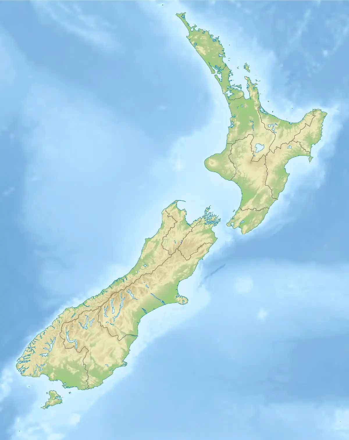 Mouth of the Copland River  Copland River (South Island) | |
| Etymology | Likely named after James Copland |
| Location | |
| Country | New Zealand |
| region | West Coast Region |
| District | Westland District |
| Protected area | Westland Tai Poutini National Park |
| Physical characteristics | |
| Source | Copland Glacier |
| • location | Aroarokaehe Range |
| • coordinates | 43.64044°S 170.07334°E |
| • elevation | 1,090 m (3,580 ft) |
| Mouth | Karangarua River |
• location | 8 km (5.0 mi) south of Karangarua |
• coordinates | 43.61015°S 169.83610°E |
• elevation | 55 m (180 ft) |
| Length | 24 km (15 mi) |
| Basin features | |
| Progression | Karangarua River → Callery River → Karangarua River → Tasman Sea |
| River system | Karangarua River |
| Tributaries | |
| • left | Scott Creek, Therma Creek |
| • right | Strauchon River, Ruera River, Architect Creek |
The headwaters of the Copland lie only 8 kilometres (5 mi) northwest of Aoraki / Mount Cook in a valley overlooked by the peaks of Mount Sefton and Mount La Perouse. A popular tramping track known as the Copland Track follows the river and leads to the Welcome Flat hot springs. The track leads onto the Copland Pass and the Copland Glacier.[2]
The river lies within the Westland Tai Poutini National Park.
References
Wikimedia Commons has media related to Copland River.
- Peter Dowling, ed. (2004). Reed New Zealand Atlas. Reed Books. Map 76. ISBN 0-7900-0952-8.
- "Copland Track". New Zealand Department of Conservation. Retrieved 7 September 2009.
This article is issued from Wikipedia. The text is licensed under Creative Commons - Attribution - Sharealike. Additional terms may apply for the media files.