Cottonwood Springs Dam
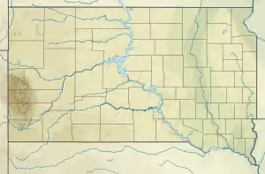
Cottonwood Springs Dam is a dam in Fall River County, South Dakota in the southwestern part of the state, south of the Black Hills.
| Cottonwood Springs Dam | |
|---|---|
 Location of Cottonwood Springs Dam in South Dakota. | |
| Country | United States |
| Location | Fall River County, South Dakota, United States. |
| Coordinates | 43.4380°N 103.5658°W |
| Status | Operational |
| Opening date | 1969 |
| Owner(s) | |
| Dam and spillways | |
| Type of dam | Embankment, earthen |
| Height | 123 ft (37 m) |
| Reservoir | |
| Total capacity | 11,635 acre⋅ft (14,351,561 m3) |
| Surface area | 36 acres (15 ha) |
The earthen dam was constructed in 1969 by the U.S. Army Corps of Engineers with a height of 123 feet and a length at its crest of 1190 feet.[1] It impounds Cottonwood Springs Creek for area flood control.
The reservoir it creates, Cottonwood Springs Lake, has a water surface of 36 acres and has a maximum capacity of 11,635 acre-feet.[2] Recreation is year-round and includes camping, hiking, and fishing.[3] Recreation is managed by the Corps of Engineers.
The dam and lake is approximately 6 miles west of Hot Springs, South Dakota. Cold Brook Dam, another Corps of Engineers dam is located about 5 miles northeast.
The dam and reservoir are located within the Cheyenne River watershed.
External links
References
- "Omaha District U.S. Army Corps of Engineers Home Page". Archived from the original on 2012-08-02. Retrieved 2012-08-13.
- "Cottonwood Springs Lake". Archived from the original on 2012-10-12. Retrieved 2012-08-13.
- "Archived copy". Archived from the original on 2004-10-19. Retrieved 2012-08-13.
{{cite web}}: CS1 maint: archived copy as title (link)