Cream City, Ohio
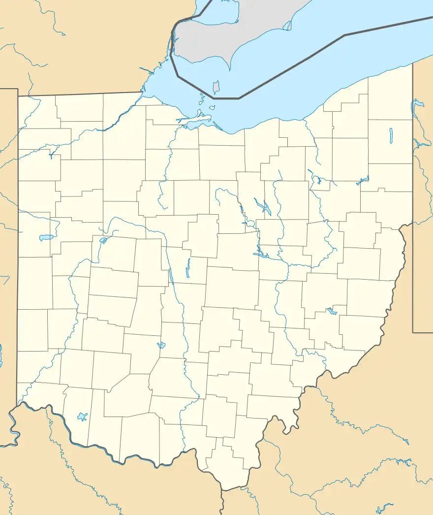
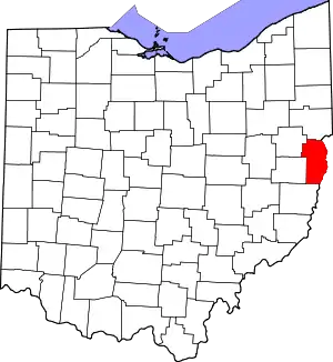
"Cream City" is the local name given to an area along County Road 50 at the south end of the Village of Irondale in Saline Township, Jefferson County, Ohio, United States. It is located between Irondale and Hammondsville along County Road 50 which is also Creek Street within the village, located at 40°33′52″N 80°43′04″W.[2][3]
Cream City, Ohio | |
|---|---|
 Cream City, Ohio Location of Cream City, Ohio | |
| Coordinates: 40°33′52″N 80°43′04″W | |
| Country | United States |
| State | Ohio |
| Counties | Jefferson |
| Elevation | 699 ft (219 m) |
| Time zone | UTC-5 (Eastern (EST)) |
| • Summer (DST) | UTC-4 (EDT) |
| ZIP code | 43932 |
| Area code | 740 |
| GNIS feature ID | 1048640[1] |
Elderly residents who lived in the Irondale area (circa 1920's) have related that "Cream City" got its name for the following reasons. At that time many of the residents of the "Cream City" area of the Village of Irondale raised cows to provide milk for domestic use. The nearby North Fork of Yellow Creek provided water for domestic animals and the plentiful grasses that grew in the bottom ground near the creek provided most of the feed that the animals ate each day.
The excess milk beyond what each family could use each day was sold to the Golden Star Dairy in East Liverpool, Ohio. The dairy paid local men to transport the fresh milk each day in 5 gallon metal milk cans from the "Cream City" area of Irondale to East Liverpool, Ohio, to be processed into various dairy products that were sold in the many stores in the upper Ohio Valley.
It has also been said that some enterprising local housewives sold some of their excess milk to neighbors and some skimmed off cream from their domestic milk and used it to churn butter which they then sold to their neighbors.
References
- "US Board on Geographic Names". United States Geological Survey. 2007-10-25. Retrieved 2020-01-14.
- U.S. Geological Survey Geographic Names Information System: Cream City, Ohio
- Rand McNally. The Road Atlas '06. Chicago: Rand McNally, 2006, 78.
