Cruzville, New Mexico
Cruzville is a census-designated place in Catron County, New Mexico, United States, 9 miles (14 km) northeast of Reserve. It is located in the Apache National Forest.[4] As of the 2010 census it had a population of 72.[5]
Cruzville, New Mexico | |
|---|---|
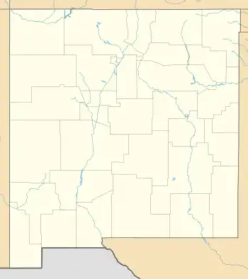 Cruzville Location within the state of New Mexico | |
| Coordinates: 33°48′26″N 108°39′55″W[1] | |
| Country | United States |
| State | New Mexico |
| County | Catron |
| Area | |
| • Total | 2.55 sq mi (6.61 km2) |
| • Land | 2.55 sq mi (6.61 km2) |
| • Water | 0.00 sq mi (0.00 km2) |
| Population | |
| • Total | 74 |
| • Density | 28.99/sq mi (11.19/km2) |
| Time zone | UTC-5 (Mountain (MST)) |
| • Summer (DST) | MDT |
| Area code | 575 |
| GNIS feature ID | 35-19010 |
Education
It is in the Reserve Independent School District.[7]
References
- U.S. Geological Survey Geographic Names Information System: Cruzville, New Mexico
- "ArcGIS REST Services Directory". United States Census Bureau. Retrieved October 12, 2022.
- "Census Population API". United States Census Bureau. Retrieved October 12, 2022.
- Banks, P.H. (nd) Cruzville, Apache Creek, Aragon and Old Horse Springs — NM Hwy12 from Reserve to Datil Archived June 8, 2007, at the Wayback Machine. SouthernNewMexico.com. Retrieved 6/13/07.
- "Geographic Identifiers: 2010 Demographic Profile Data (G001): Cruzville CDP, New Mexico". U.S. Census Bureau, American Factfinder. Archived from the original on February 12, 2020. Retrieved October 16, 2014.
- "Census of Population and Housing". Census.gov. Retrieved June 4, 2016.
- "2020 CENSUS - SCHOOL DISTRICT REFERENCE MAP: Catron County, NM" (PDF). U.S. Census Bureau. Retrieved July 12, 2022.
External links
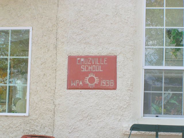
- Photo of Cruzville School built by the Works Progress Administration in 1938.
Municipalities and communities of Catron County, New Mexico, United States | ||
|---|---|---|
| Village |  Map of New Mexico highlighting Catron County | |
| CDPs | ||
| Other communities | ||
| Ghost towns | ||
| Indian reservation | ||
| Footnotes | ‡This populated place also has portions in an adjacent county or counties | |
This article is issued from Wikipedia. The text is licensed under Creative Commons - Attribution - Sharealike. Additional terms may apply for the media files.