Czarny Dunajec
Czarny Dunajec [ˈt͡ʂarnɨ duˈnajɛt͡s], (Slovak: Čierny Dunajec) is a town located in southern Poland near the Polish-Slovak border in a valley alongside a river of the same name.
Czarny Dunajec | |
|---|---|
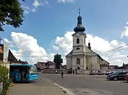 Holy Trinity Church | |
 Coat of arms | |
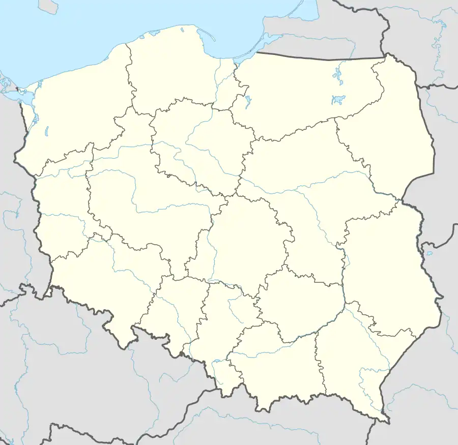 Czarny Dunajec 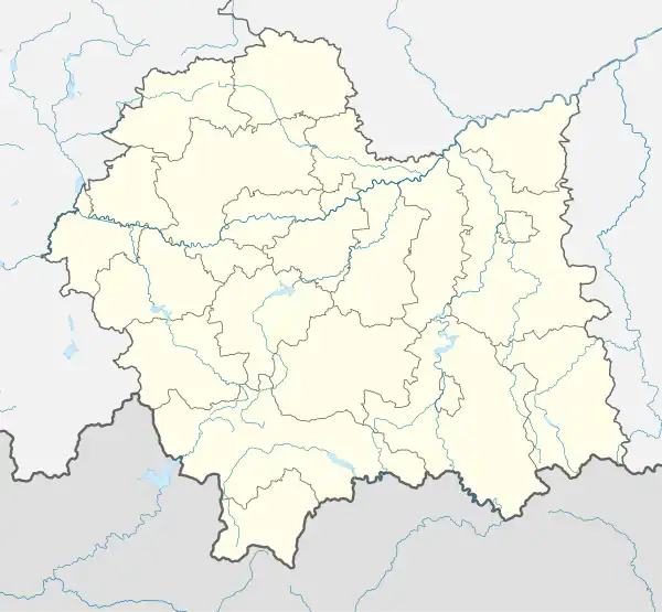 Czarny Dunajec | |
| Coordinates: 49°26′22″N 19°51′15″E | |
| Country | |
| Voivodeship | Lesser Poland |
| County | Nowy Targ County |
| Gmina | Gmina Czarny Dunajec |
| Area | |
| • Total | 21.72 km2 (8.39 sq mi) |
| Population | |
| • Total | 3,501 |
| • Density | 160/km2 (420/sq mi) |
| Time zone | UTC+1 (CET) |
| • Summer (DST) | UTC+2 (CEST) |
| Postal code | 34-470 |
| Area code | +48 18 |
| Car plates | KNT |
Czarny Dunajec is the seat of the gmina, belonging to the Nowy Targ County (Polish: Powiat Nowotarski) and in the Lesser Poland.
Transportation and tourism
Czarny Dunajec is about 60 miles south of Kraków with its international airport. The nearest railway station is in Nowy Targ.
The town is on intersection of the east-west and north-south voievodship roads, that are one of main ways to the Western Tatra and Zakopane mountain region as well as the nearby Chocholow thermal spa.
A local railway line through the valley was dismantled and converted to a cycling path.
Important peatlands are situated to the west and north-west of the town. Czarny Dunajec and Piekielnik were declared as a protected spa area by the Polish government in 2016.
External links
- Municipal Office
- Elementary and Middle School (sometimes offline)
- Jewish Community in Czarny Dunajec on Virtual Shtetl
- Czarny Dunajec (outdated)
| Seat | ||
|---|---|---|
| Other villages | ||