Dakota Dunes, South Dakota
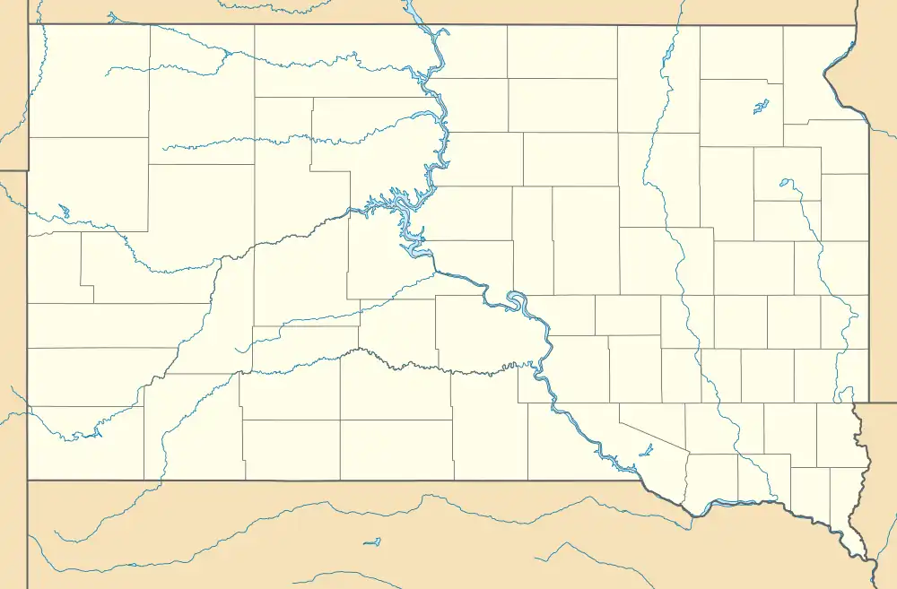
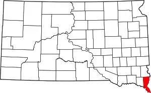
Dakota Dunes is an unincorporated community and census-designated place (CDP), master-planned residential and commercial development covering about 2,000 acres (8.1 km2) in Union County in the extreme southeast corner of the U.S. state of South Dakota. The population was 4,020 at the 2020 census.[3]
Dakota Dunes | |
|---|---|
 Dakota Dunes Location within the state of South Dakota  Dakota Dunes Dakota Dunes (the United States) | |
| Coordinates: 42°29′31″N 96°29′14″W | |
| Country | United States |
| State | South Dakota |
| County | Union |
| Area | |
| • Total | 2.86 sq mi (7.40 km2) |
| • Land | 2.47 sq mi (6.39 km2) |
| • Water | 0.39 sq mi (1.00 km2) |
| Elevation | 1,093 ft (333 m) |
| Population | |
| • Total | 4,020 |
| • Density | 1,628.19/sq mi (628.69/km2) |
| Time zone | UTC-6 (Central) |
| • Summer (DST) | UTC-5 (CDT) |
| ZIP code | 57049 |
| Area code | 605 |
| FIPS code | 46-15256 |
| GNIS feature ID | 2628843[2] |
| Website | dakotadunes.com |
Demographics
| Census | Pop. | Note | %± |
|---|---|---|---|
| 2010 | 2,540 | — | |
| 2020 | 4,020 | 58.3% | |
| U.S. Decennial Census[4] 2020 Census[3] | |||
2020 census
As of the census of 2020, there were 4,020 people.
2010 census
As of the census of 2010, there were 2,540 people.
Overview
The development is sandwiched between the Big Sioux River and the Missouri River. The nearest incorporated municipality is North Sioux City, South Dakota, with which Dakota Dunes shares the zip code 57049. Dakota Dunes is about five miles (8 km) west of downtown Sioux City, Iowa. As of March 31, 2013, its population stood at 2,688.[5] Law enforcement is provided by the Union County Sheriff.[6]
Dakota Dunes has five main neighborhoods including the Country Club Estates, the Meadows, the Prairie, the Willows, and Upscale Apartment Living.
Dakota Dunes is owned and developed by Berkshire Hathaway Energy of Des Moines, Iowa, which unveiled plans for the community in 1988.[7] The development is home to Dakota Dunes Country Club, a golf course designed by Arnold Palmer's design company. Two Rivers Golf Club, which existed as the Sioux City Boat Club prior to the existence of Dakota Dunes, is also nearby. KMEG-14/KPTH Fox-44 studios are also within the vicinity.
In 2011 and 2019, historic flooding along the Big Sioux and Missouri Rivers threatened the town.[8][9]
References
- "ArcGIS REST Services Directory". United States Census Bureau. Retrieved October 15, 2022.
- U.S. Geological Survey Geographic Names Information System: Dakota Dunes, South Dakota
- "Explore Census Data". Explore Census Data. United States Census Bureau. Retrieved April 15, 2023.
- "Census of Population and Housing". Census.gov. Retrieved June 4, 2016.
- "Demographics". Archived from the original on June 8, 2008. Retrieved July 26, 2008.
- "Dakota Dunes: Local Government". Archived from the original on August 21, 2008. Retrieved July 26, 2008.
- "Dakota Dunes South Dakota History". Archived from the original on January 12, 2008. Retrieved January 16, 2008.
- Sulzberger, A. G. (July 30, 2011). "In the Flood Zone, but Astonished by High Water". New York Times. Retrieved September 10, 2014.
- Associated Press (September 17, 2019). "Third round of flooding in 2019 likely along Missouri River". KOMU.com. Retrieved September 22, 2019.
