Danforth (CDP), Maine
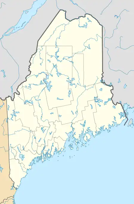
Danforth is a census-designated place (CDP) and the primary village in the town of Danforth, Washington County, Maine, United States. It is in northernmost Washington County, in the northern part of the town of Danforth, and is bordered to the north by the town of Weston in Aroostook County. The village is located on Baskahegan Stream where it originates at the outlet of Crooked Brook Flowage. The Baskahegan is a northwest-flowing tributary of the Mattawamkeag River and part of the Penobscot River watershed.
Danforth, Maine | |
|---|---|
 Danforth  Danforth | |
| Coordinates: 45°39′35″N 67°52′1″W | |
| Country | |
| State | Maine |
| County | Washington |
| Town | Danforth |
| Area | |
| • Total | 2.52 sq mi (6.54 km2) |
| • Land | 2.48 sq mi (6.41 km2) |
| • Water | 0.05 sq mi (0.12 km2) |
| Elevation | 385 ft (117 m) |
| Population (2020) | |
| • Total | 331 |
| • Density | 133.68/sq mi (51.61/km2) |
| Time zone | UTC-5 (Eastern (EST)) |
| • Summer (DST) | UTC-4 (EDT) |
| ZIP Code | 04424 |
| Area code | 207 |
| FIPS code | 23-16375 |
| GNIS feature ID | 2806291[2] |
U.S. Route 1 passes through the eastern side of the village, leading north 34 miles (55 km) to Houlton and southeast 56 miles (90 km) to Calais. State Route 169 runs southwest from Danforth 24 miles (39 km) to State Route 6 in Springfield.
Danforth was first listed as a CDP prior to the 2020 census.[2]
References
- "2020 U.S. Gazetteer Files". United States Census Bureau. Archived from the original on January 10, 2023. Retrieved April 8, 2022.
- "Danforth Census Designated Place". Geographic Names Information System. United States Geological Survey, United States Department of the Interior.
- "Census of Population and Housing". Census.gov. Archived from the original on August 27, 2019. Retrieved June 4, 2016.
